GeotchaA geography quiz on a real globe
The 32 counties of Ireland
32 counties, each one drawn on a satellite globe. Name it when it lights up, find it when you are given its name, tell its flag from three others, or type every one you can remember in Name all.
Every county of the island, Northern Ireland's six included, largest first. Free to play, with no account needed. What you miss comes back for review until it sticks.
The counties
- 1Cork7,500 km²
- 2Galway6,149 km²
- 3Mayo5,586 km²
- 4Donegal4,861 km²
- 5Kerry4,807 km²
- 6Tipperary4,305 km²
- 7Clare3,450 km²
- 8Tyrone3,155 km²
- 9Antrim2,844 km²
- 10Limerick2,756 km²
- 11Roscommon2,548 km²
- 12Down2,448 km²
- 13Wexford2,365 km²
- 14Meath2,342 km²
- 15Londonderry2,074 km²
- 16Kilkenny2,073 km²
- 17Wicklow2,027 km²
- 18Offaly2,001 km²
- 19Cavan1,932 km²
- 20Waterford1,857 km²
- 21Westmeath1,840 km²
- 22Sligo1,838 km²
- 23Laois1,720 km²
- 24Kildare1,693 km²
- 25Fermanagh1,691 km²
- 26Leitrim1,590 km²
- 27Monaghan1,295 km²
- 28Armagh1,254 km²
- 29Longford1,091 km²
- 30Dublin922 km²
- 31Carlow897 km²
- 32Louth826 km²
On the map
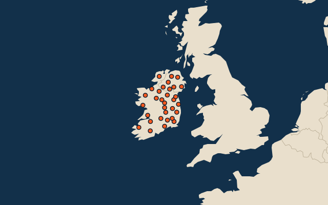
The 32 traditional counties of the island of Ireland: the 26 of the Republic of Ireland and the six of Northern Ireland, in the four provinces of Ulster, Munster, Leinster and Connacht. They are the whole counties as people name them (County Dublin, all of Cork and Tipperary), not the councils that govern them today: Dublin has four county councils, Cork and Galway have a city council beside the county's, and Northern Ireland's counties have had no councils of their own since 1973. Area in km² is Wikidata's figure for each county.
More sets
- Countries of the world
- World capitals
- Bodies of water
- Straits & channels
- Continents and oceans
- Longest river systems
- Largest lakes
- Largest islands
- Famous peaks
- Famous volcanoes
- Mountain ranges
- Largest deserts
- US states
- Provinces of China
- Counties of England
- Largest cities of the world
- Largest cities of China
- Largest cities of Egypt