GeotchaA geography quiz on a real globe
US states and territories in 1850
37 US states and territories, each one drawn on a satellite globe. Name it when it lights up, find it when you are given its name, tell its flag from three others, or type every one you can remember in Name all.
Free to play, with no account needed. What you miss comes back for review until it sticks.
The US states and territories
- 1Mexican cession1,369,492 km²
- 2Deseret [Proposed State]1,129,729 km²
- 3Texas1,005,800 km²
- 4Oregon Territory736,840 km²
- 5Minnesota Territory432,875 km²
- 6Michigan250,339 km²
- 7Unorganized Federal Territory214,747 km²
- 8Missouri180,627 km²
- 9Wisconsin169,297 km²
- 10Virginia166,366 km²
- 11Indian Territory166,310 km²
- 12Georgia152,392 km²
- 13Illinois149,967 km²
- 14Florida147,159 km²
- 15Iowa145,408 km²
- 16Arkansas137,594 km²
- 17New York136,401 km²
- 18Alabama133,635 km²
- 19North Carolina127,320 km²
- 20Mississippi123,508 km²
- 21Louisiana119,577 km²
- 22Pennsylvania118,973 km²
- 23Ohio115,885 km²
- 24Massachusetts115,183 km²
- 25Tennessee109,126 km²
- 26Kentucky104,627 km²
- 27Indiana94,219 km²
- 28Maine94,095 km²
- 29South Carolina79,776 km²
- 30Maryland25,349 km²
- 31Vermont24,871 km²
- 32New Hampshire23,957 km²
- 33New Jersey19,603 km²
- 34Connecticut12,683 km²
- 35Delaware5,244 km²
- 36Rhode Island2,641 km²
- 37District of Columbia236 km²
The map as it stood on 1 July 1850 (a year means its 1 July), with the names of the time. The parts of a state as it was then: its first-level regions as OpenHistoricalMap draws them. Area in km², measured on the largest of its outlines (simplified, clipped to land). Sources: OpenHistoricalMap contributors (CC0), Wikidata (CC0).
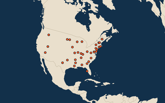
On the map
More in United States
- Countries with parts formerly held by the United States
- Territories of the United States
- US states and territories in 1900
Similar quizzes
- Regions formerly held by Russia
- Regions formerly held by the Ottoman Empire
- Regions formerly held by Austria
- Regions formerly held by Hungary
- Regions formerly held by Germany
- Regions formerly held by Poland
- Regions formerly held by the Holy Roman Empire
- Regions formerly held by Denmark
- Soviet republics in 1980
- States of the German Empire in 1900
- US states