GeotchaA geography quiz on a real globe
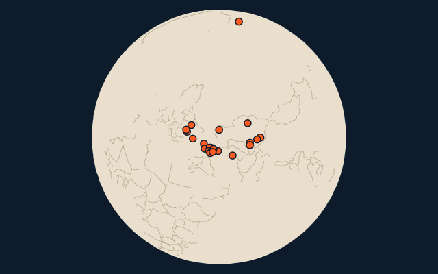
Regions formerly held by Russia
22 regions, each one drawn on a satellite globe. Name it when it lights up, find it when you are given its name, or type every one you can remember in Name all.
Free to play, with no account needed. What you miss comes back for review until it sticks.
The regions
- 1Alaska1,717,856 km²
- 2West Kazakhstan150,804 km²
- 3Kakheti11,310 km²
- 4Abkhazia8,665 km²
- 5Artvin7,393 km²
- 6Baku2,120 km²
- 7Shymkent1,171 km²
- 8Ashgabat976 km²
- 9Sevastopol862 km²
- 10Kyiv825 km²
- 11Astana793 km²
- 12Almaty702 km²
- 13Tbilisi504 km²
- 14Tashkent335 km²
- 15Yerevan227 km²
- 16Ganja181 km²
- 17Nakhchivan179 km²
- 18Bishkek127 km²
- 19Chișinău123 km²
- 20Bălți101 km²
- 21Shaki46 km²
- 22Khankendi22 km²
Area in km²: Wikidata’s figure (P2046, the whole or the land area, whichever matches the outline) where it is within a factor of two of the outline’s area; else the area measured on the outline. Each item names its source. Russia (with the Russian Empire): places once under its rule and not now, from Wikidata’s dated country statements and colonial-empire membership, and the CIA World Factbook’s independence dates; military occupations of a few years are left out. A region of a country held as a whole is left out: the country is the answer there. Sources: Natural Earth 1:10m admin-1 (public domain), OpenStreetMap (ODbL), Wikidata (CC0).
On the map