GeotchaA geography quiz on a real globe
Crown lands of Austria-Hungary in 1910
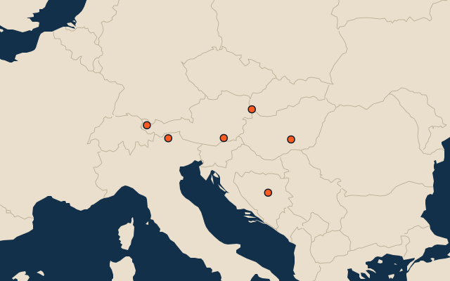
6 crown lands of Austria-Hungary, each one drawn on a satellite globe. Name it when it lights up, find it when you are given its name, or type every one you can remember in Name all.
Free to play, with no account needed. What you miss comes back for review until it sticks.
The crown lands of Austria-Hungary
- 1Transleithania324,295 km²
- 2Cisleithania297,811 km²
- 3Condominium of Bosnia and Herzegovina51,168 km²
- 4Tirol26,590 km²
- 5Styria22,400 km²
- 6Vorarlberg2,635 km²
The map as it stood on 1 July 1910 (a year means its 1 July), with the names of the time. The parts of a state as it was then: its first-level regions as OpenHistoricalMap draws them. Area in km², measured on the largest of its outlines (simplified, clipped to land). Sources: OpenHistoricalMap contributors (CC0), Wikidata (CC0).
On the map
Similar quizzes
- Regions formerly held by Russia
- Regions formerly held by the Ottoman Empire
- Regions formerly held by Austria
- Regions formerly held by Hungary
- Regions formerly held by Germany
- Regions formerly held by Poland
- Regions formerly held by the Holy Roman Empire
- Regions formerly held by Denmark
- Soviet republics in 1980
- States of the German Empire in 1900
- US states