GeotchaA geography quiz on a real globe
Counties of Maryland, United States
24 counties, each one drawn on a satellite globe. Name it when it lights up, find it when you are given its name, or type every one you can remember in Name all.
Free to start: a few quizzes a day cost nothing, and Geotcha Plus opens every quiz. What you miss comes back for review until it sticks.
The full list
About this quiz
Frederick County is the largest of the 24 counties in this quiz, at 1,711 km²; Baltimore is the smallest listed, at 210 km². The three largest hold 20% of the combined area of all 24.
The counties
- 1Frederick County1,711 km²
- 2Garrett County1,681 km²
- 3Baltimore County1,550 km²
- 4Dorchester County1,401 km²
- 5Montgomery County1,277 km²
- 6Prince George's County1,250 km²
- 7Worcester County1,213 km²
- 8Charles County1,186 km²
- 9Washington County1,186 km²
- 10Carroll County1,159 km²
- 11Harford County1,132 km²
- 12Allegany County1,094 km²
- 13Anne Arundel County1,074 km²
- 14Wicomico County970 km²
- 15Queen Anne's County963 km²
- 16St. Mary's County929 km²
- 17Cecil County897 km²
- 18Somerset County828 km²
- 19Caroline County827 km²
- 20Kent County717 km²
- 21Talbot County696 km²
- 22Howard County650 km²
- 23Calvert County552 km²
- 24Baltimore210 km²
On the map
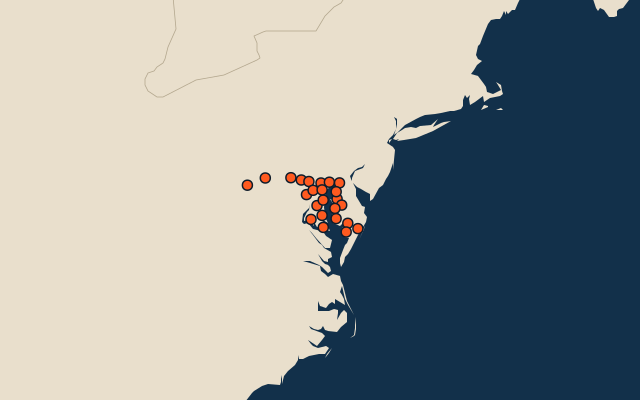
All of United States
- States of the United States
- 10 most populous states of the United States
- 10 hottest states of the United States
More in Maryland
Elsewhere in United States
- Counties of Alaska
- Counties of Alabama
- Counties of Arkansas
- Counties of Arizona
- Counties of California
- Counties of Colorado
- Counties of Connecticut
- Counties of Florida, United States
United States, by kind
- 25 largest cities in the United States
- 25 largest natural lakes in the United States
- 25 longest rivers in the United States
- 25 highest peaks in the United States
All the US states
How the figures are measured
Second-level units: the 3135 counties, within the 51 states (the first level), which the region hint names.