GeotchaA geography quiz on a real globe
Counties of Arkansas
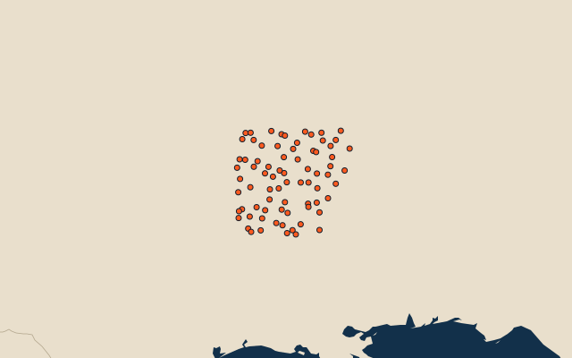
75 counties, each one drawn on a satellite globe. Name it when it lights up, find it when you are given its name, or type every one you can remember in Name all.
Free to play, with no account needed. What you miss comes back for review until it sticks.
The counties
- 1Union County2,691 km²
- 2White County2,678 km²
- 3Arkansas County2,570 km²
- 4Washington County2,438 km²
- 5Yell County2,409 km²
- 6Ashley County2,397 km²
- 7Mississippi County2,336 km²
- 8Scott County2,312 km²
- 9Jefferson County2,259 km²
- 10Clark County2,243 km²
- 11Polk County2,219 km²
- 12Benton County2,196 km²
- 13Madison County2,161 km²
- 14Drew County2,146 km²
- 15Newton County2,127 km²
- 16Pope County2,101 km²
- 17Montgomery County2,021 km²
- 18Lonoke County1,998 km²
- 19Columbia County1,984 km²
- 20Independence County1,978 km²
- 21Poinsett County1,964 km²
- 22Pulaski County1,964 km²
- 23Desha County1,920 km²
- 24Ouachita County1,898 km²
- 25Hempstead County1,883 km²
- 26Saline County1,874 km²
- 27Van Buren County1,838 km²
- 28Logan County1,837 km²
- 29Craighead County1,832 km²
- 30Phillips County1,788 km²
- 31Garland County1,755 km²
- 32Dallas County1,728 km²
- 33Searcy County1,725 km²
- 34Johnson County1,712 km²
- 35Randolph County1,688 km²
- 36Bradley County1,681 km²
- 37Prairie County1,677 km²
- 38Faulkner County1,676 km²
- 39Clay County1,656 km²
- 40Chicot County1,650 km²
- 41St. Francis County1,644 km²
- 42Jackson County1,641 km²
- 43Grant County1,637 km²
- 44Carroll County1,632 km²
- 45Calhoun County1,628 km²
- 46Miller County1,616 km²
- 47Fulton County1,601 km²
- 48Nevada County1,600 km²
- 49Cross County1,596 km²
- 50Hot Spring County1,593 km²
- 51Crittenden County1,587 km²
- 52Franklin County1,577 km²
- 53Monroe County1,573 km²
- 54Stone County1,571 km²
- 55Sharp County1,566 km²
- 56Pike County1,555 km²
- 57Lee County1,553 km²
- 58Cleveland County1,549 km²
- 59Marion County1,545 km²
- 60Crawford County1,542 km²
and 15 more, all in the quiz.
Second-level units: the 3135 counties, within the 51 states (the first level), which the region hint names. Area in km²: the official area where the national statistics office gives one (countries whose divisions changed since Natural Earth). Each item names its source. Sources: OpenStreetMap (ODbL), national statistics offices.
On the map
More in Arkansas
- 10 largest cities in Arkansas
- 11 largest lakes and reservoirs in Arkansas
- 15 longest rivers in Arkansas