GeotchaA geography quiz on a real globe
Departments of Corrientes
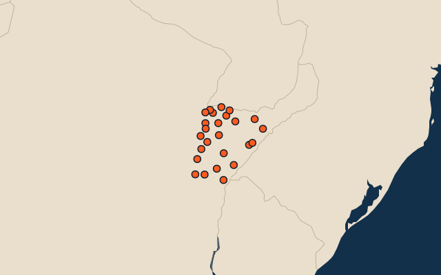
25 departments, each one drawn on a satellite globe. Name it when it lights up, find it when you are given its name, or type every one you can remember in Name all.
Free to play, with no account needed. What you miss comes back for review until it sticks.
The departments
- 1Mercedes9,588 km²
- 2Curuzú Cuatiá8,911 km²
- 3Ituzaingó8,613 km²
- 4Santo Tomé7,359 km²
- 5San Martín6,385 km²
- 6Concepción5,008 km²
- 7General Paz4,995 km²
- 8Paso de los Libres4,700 km²
- 9Goya4,678 km²
- 10Esquina3,723 km²
- 11San Miguel2,863 km²
- 12San Luis del Palmar2,385 km²
- 13Monte Caseros2,287 km²
- 14San Roque2,243 km²
- 15General Alvear1,954 km²
- 16Empedrado1,937 km²
- 17Saladas1,907 km²
- 18Sauce1,760 km²
- 19Bella Vista1,695 km²
- 20Lavalle1,480 km²
- 21Mburucuyá957 km²
- 22Itatí870 km²
- 23Berón de Astrada810 km²
- 24San Cosme591 km²
- 25Capital500 km²
Second-level units: the 513 departments, within the 24 provinces (the first level), which the region hint names. Area in km²: the official area where the national statistics office gives one (countries whose divisions changed since Natural Earth). Each item names its source. Sources: OpenStreetMap (ODbL), national statistics offices.
On the map