GeotchaA geography quiz on a real globe
Departments of Chaco
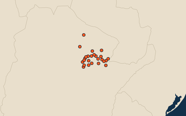
25 departments, each one drawn on a satellite globe. Name it when it lights up, find it when you are given its name, or type every one you can remember in Name all.
Free to play, with no account needed. What you miss comes back for review until it sticks.
The departments
- 1General Güemes25,487 km²
- 2Almirante Brown17,276 km²
- 3Libertador General San Martín7,800 km²
- 4Tapenagá6,025 km²
- 5Mayor Luis Jorge Fontana3,708 km²
- 6San Fernando3,489 km²
- 7Maipú2,855 km²
- 8Doce de Octubre2,576 km²
- 9Bermejo2,562 km²
- 10Veinticinco de Mayo2,358 km²
- 11Presidencia de la Plaza2,284 km²
- 12Fray Justo Santa María del Oro2,205 km²
- 13San Lorenzo2,135 km²
- 14Nueve de Julio2,097 km²
- 15Independencia1,871 km²
- 16Primero de Mayo1,864 km²
- 17Sargento Cabral1,651 km²
- 18Dos de Abril1,594 km²
- 19O'Higgins1,580 km²
- 20Quitilipi1,545 km²
- 21Comandante Fernández1,500 km²
- 22General Donovan1,487 km²
- 23Chacabuco1,378 km²
- 24General Belgrano1,218 km²
- 25Libertad1,088 km²
Second-level units: the 513 departments, within the 24 provinces (the first level), which the region hint names. Area in km²: the official area where the national statistics office gives one (countries whose divisions changed since Natural Earth). Each item names its source. Sources: OpenStreetMap (ODbL), national statistics offices.
On the map