GeotchaA geography quiz on a real globe
Counties of Arizona
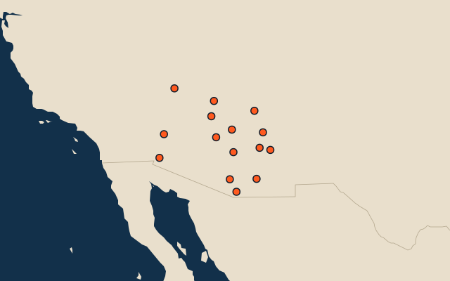
15 counties, each one drawn on a satellite globe. Name it when it lights up, find it when you are given its name, or type every one you can remember in Name all.
Free to play, with no account needed. What you miss comes back for review until it sticks.
The counties
- 1Coconino County48,216 km²
- 2Mohave County34,530 km²
- 3Apache County29,003 km²
- 4Navajo County25,769 km²
- 5Maricopa County23,833 km²
- 6Pima County23,799 km²
- 7Yavapai County21,038 km²
- 8Cochise County16,083 km²
- 9Yuma County14,281 km²
- 10Pinal County13,898 km²
- 11Gila County12,321 km²
- 12Graham County11,971 km²
- 13La Paz County11,646 km²
- 14Greenlee County4,771 km²
- 15Santa Cruz County3,202 km²
Second-level units: the 3135 counties, within the 51 states (the first level), which the region hint names. Area in km²: the official area where the national statistics office gives one (countries whose divisions changed since Natural Earth). Each item names its source. Sources: OpenStreetMap (ODbL), national statistics offices.
On the map
More in Arizona
- 10 largest cities in Arizona
- 6 largest lakes and reservoirs in Arizona
- 10 longest rivers in Arizona
- 19 highest peaks in Arizona