GeotchaA geography quiz on a real globe
Counties of Lesser Poland
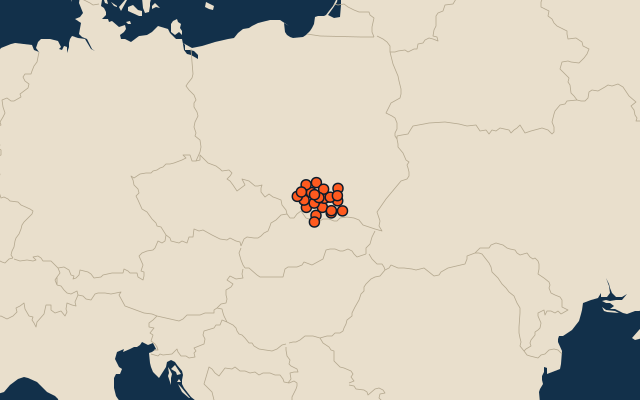
22 counties, each one drawn on a satellite globe. Name it when it lights up, find it when you are given its name, or type every one you can remember in Name all.
Free to play, with no account needed. What you miss comes back for review until it sticks.
The counties
- 1Nowy Sącz County1,550 km²
- 2Nowy Targ County1,475 km²
- 3Tarnów County1,412 km²
- 4Kraków County1,231 km²
- 5Gorlice County966 km²
- 6Limanowa County951 km²
- 7Sucha County686 km²
- 8Powiat miechowski676 km²
- 9Myślenice County673 km²
- 10Bochnia County649 km²
- 11Wadowice County646 km²
- 12Olkusz County618 km²
- 13Brzesko County591 km²
- 14Dąbrowa County530 km²
- 15Tatra County472 km²
- 16Proszowice County415 km²
- 17Wieliczka County411 km²
- 18Oświęcim County406 km²
- 19Chrzanów County370 km²
- 20Krakow327 km²
- 21Tarnów72 km²
- 22Nowy Sącz58 km²
Second-level units: the 380 counties, within the 16 voivodeships (the first level), which the region hint names. Area in km²: the official area where the national statistics office gives one (countries whose divisions changed since Natural Earth). Each item names its source. Sources: OpenStreetMap (ODbL), national statistics offices.
On the map