GeotchaA geography quiz on a real globe
Municipalities of Vestland
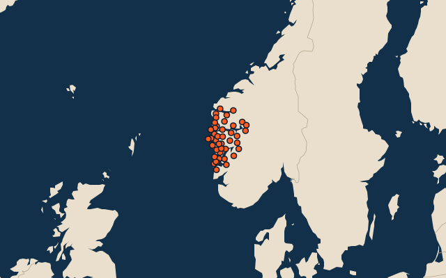
42 municipalities, each one drawn on a satellite globe. Name it when it lights up, find it when you are given its name, or type every one you can remember in Name all.
Free to play, with no account needed. What you miss comes back for review until it sticks.
The municipalities
- 1Ullensvang2,962 km²
- 2Luster2,597 km²
- 3Sunnfjord2,065 km²
- 4Voss1,958 km²
- 5Eidfjord1,388 km²
- 6Aurland1,376 km²
- 7Stryn1,326 km²
- 8Lærdal1,275 km²
- 9Sogndal1,229 km²
- 10Kvinnherad1,042 km²
- 11Gloppen963 km²
- 12Årdal930 km²
- 13Høyanger928 km²
- 14Vik795 km²
- 15Bremanger786 km²
- 16Kinn763 km²
- 17Stad695 km²
- 18Etne691 km²
- 19Vaksdal682 km²
- 20Ulvik663 km²
- 21Alver651 km²
- 22Kvam580 km²
- 23Gulen577 km²
- 24Masfjorden509 km²
- 25Bjørnafjorden487 km²
- 26Bergen445 km²
- 27Fjaler390 km²
- 28Modalen379 km²
- 29Askvoll313 km²
- 30Samnanger257 km²
- 31Hyllestad248 km²
- 32Tysnes245 km²
- 33Osterøy244 km²
- 34Bømlo236 km²
- 35Sveio224 km²
- 36Solund219 km²
- 37Stord137 km²
- 38Fitjar135 km²
- 39Austevoll114 km²
- 40Askøy94 km²
- 41Austrheim57 km²
- 42Fedje9 km²
Second-level units: the 355 municipalities, within the 15 counties (the first level), which the region hint names. Area in km²: the official area where the national statistics office gives one (countries whose divisions changed since Natural Earth). Each item names its source. Sources: OpenStreetMap (ODbL), national statistics offices.
On the map