GeotchaA geography quiz on a real globe
Municipalities of Utrecht
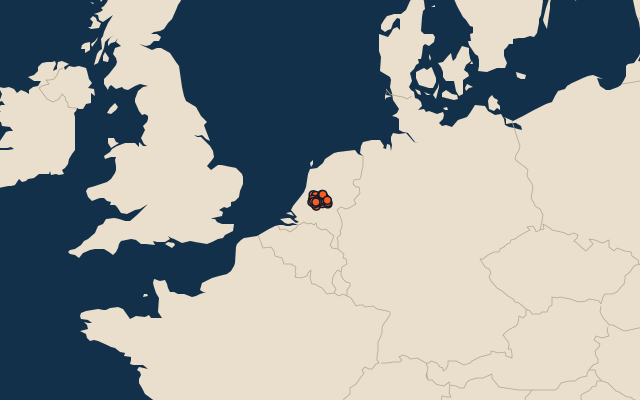
26 municipalities, each one drawn on a satellite globe. Name it when it lights up, find it when you are given its name, or type every one you can remember in Name all.
Free to play, with no account needed. What you miss comes back for review until it sticks.
The municipalities
- 1Vijfheerenlanden146 km²
- 2Utrechtse Heuvelrug132 km²
- 3De Ronde Venen100 km²
- 4Stichtse Vecht96 km²
- 5Utrecht94 km²
- 6Woerden89 km²
- 7Lopik76 km²
- 8De Bilt66 km²
- 9Amersfoort62 km²
- 10Leusden59 km²
- 11Houten55 km²
- 12Zeist49 km²
- 13Wijk bij Duurstede48 km²
- 14Soest46 km²
- 15Rhenen42 km²
- 16Oudewater39 km²
- 17Montfoort38 km²
- 18Bunnik37 km²
- 19Woudenberg37 km²
- 20Baarn33 km²
- 21Eemnes31 km²
- 22Bunschoten30 km²
- 23Nieuwegein23 km²
- 24IJsselstein21 km²
- 25Veenendaal19 km²
- 26Renswoude18 km²
Second-level units: the 341 municipalities, within the 15 provinces (the first level), which the region hint names. Area in km²: the official area where the national statistics office gives one (countries whose divisions changed since Natural Earth). Each item names its source. Sources: OpenStreetMap (ODbL), national statistics offices.
On the map