GeotchaA geography quiz on a real globe
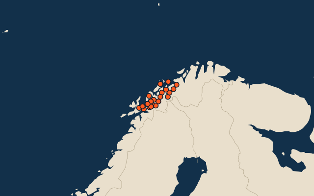
Municipalities of Troms
21 municipalities, each one drawn on a satellite globe. Name it when it lights up, find it when you are given its name, or type every one you can remember in Name all.
Free to play, with no account needed. What you miss comes back for review until it sticks.
The municipalities
- 1Nordreisa3,334 km²
- 2Målselv3,203 km²
- 3Bardu2,514 km²
- 4Tromsø2,472 km²
- 5Kvænangen2,008 km²
- 6Senja1,861 km²
- 7Storfjord1,477 km²
- 8Balsfjord1,440 km²
- 9Karlsøy1,051 km²
- 10Gáivuotna – Kåfjord – Kaivuono950 km²
- 11Lyngen795 km²
- 12Dielddanuorri775 km²
- 13Kvæfjord497 km²
- 14Skjervøy465 km²
- 15Salangen438 km²
- 16Harstad428 km²
- 17Sørreisa347 km²
- 18Gratangen306 km²
- 19Lavangen296 km²
- 20Dyrøy277 km²
- 21Ibestad234 km²
Second-level units: the 355 municipalities, within the 15 counties (the first level), which the region hint names. Area in km²: the official area where the national statistics office gives one (countries whose divisions changed since Natural Earth). Each item names its source. Sources: OpenStreetMap (ODbL), national statistics offices.
On the map