GeotchaA geography quiz on a real globe
Municipalities of Trøndelag
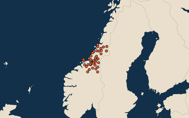
38 municipalities, each one drawn on a satellite globe. Name it when it lights up, find it when you are given its name, or type every one you can remember in Name all.
Free to play, with no account needed. What you miss comes back for review until it sticks.
The municipalities
- 1Lierne2,630 km²
- 2Oppdal2,201 km²
- 3Snåsa2,146 km²
- 4Namsos1,998 km²
- 5Steinkjer1,937 km²
- 6Orkland1,818 km²
- 7Midtre Gauldal1,803 km²
- 8Røros1,756 km²
- 9Verdal1,475 km²
- 10Namsskogan1,353 km²
- 11Røyrvik1,330 km²
- 12Nærøysund1,286 km²
- 13Åfjord1,251 km²
- 14Tydal1,217 km²
- 15Meråker1,188 km²
- 16Holtålen1,171 km²
- 17Selbu1,140 km²
- 18Grong1,095 km²
- 19Indre Fosen1,030 km²
- 20Heim980 km²
- 21Rennebu924 km²
- 22Stjørdal913 km²
- 23Hitra715 km²
- 24Høylandet703 km²
- 25Overhalla689 km²
- 26Melhus653 km²
- 27Rindal612 km²
- 28Levanger610 km²
- 29Trondheim496 km²
- 30Flatanger434 km²
- 31Ørland429 km²
- 32Osen370 km²
- 33Inderøy351 km²
- 34Frøya230 km²
- 35Skaun213 km²
- 36Malvik162 km²
- 37Leka108 km²
- 38Frosta74 km²
Second-level units: the 355 municipalities, within the 15 counties (the first level), which the region hint names. Area in km²: the official area where the national statistics office gives one (countries whose divisions changed since Natural Earth). Each item names its source. Sources: OpenStreetMap (ODbL), national statistics offices.
On the map