GeotchaA geography quiz on a real globe
Municipalities of Østfold
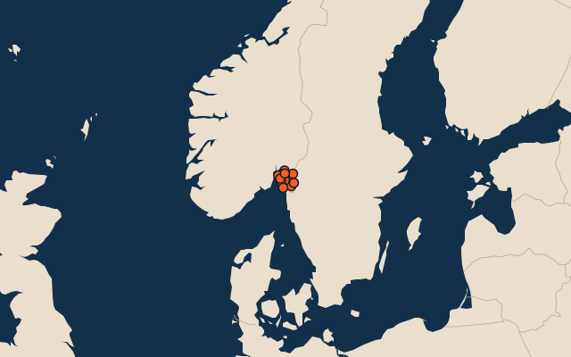
12 municipalities, each one drawn on a satellite globe. Name it when it lights up, find it when you are given its name, or type every one you can remember in Name all.
Free to play, with no account needed. What you miss comes back for review until it sticks.
The municipalities
- 1Indre Østfold municipality754 km²
- 2Halden595 km²
- 3Rakkestad421 km²
- 4Sarpsborg370 km²
- 5Marker368 km²
- 6Fredrikstad284 km²
- 7Aremark282 km²
- 8Våler239 km²
- 9Moss128 km²
- 10Råde105 km²
- 11Skiptvet93 km²
- 12Hvaler90 km²
Second-level units: the 355 municipalities, within the 15 counties (the first level), which the region hint names. Area in km²: the official area where the national statistics office gives one (countries whose divisions changed since Natural Earth). Each item names its source. Sources: OpenStreetMap (ODbL), national statistics offices.
On the map