GeotchaA geography quiz on a real globe
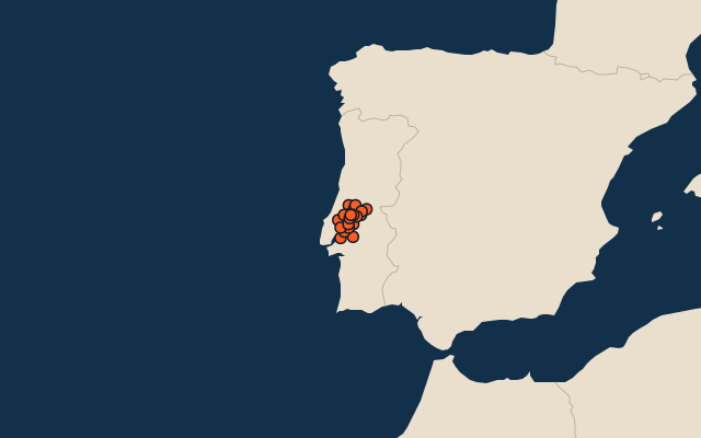
Municipalities of Santarém
21 municipalities, each one drawn on a satellite globe. Name it when it lights up, find it when you are given its name, or type every one you can remember in Name all.
Free to play, with no account needed. What you miss comes back for review until it sticks.
The municipalities
- 1Coruche1,116 km²
- 2Chamusca746 km²
- 3Abrantes715 km²
- 4Santarém560 km²
- 5Benavente521 km²
- 6Ourém417 km²
- 7Mação400 km²
- 8Tomar351 km²
- 9Rio Maior273 km²
- 10Torres Novas270 km²
- 11Salvaterra de Magos244 km²
- 12Almeirim222 km²
- 13Ferreira do Zêzere190 km²
- 14Cartaxo158 km²
- 15Alcanena127 km²
- 16Alpiarça95 km²
- 17Sardoal92 km²
- 18Constância80 km²
- 19Golegã77 km²
- 20Vila Nova da Barquinha50 km²
- 21Entroncamento14 km²
Second-level units: the 308 municipalities, within the 20 districts (the first level), which the region hint names. Area in km²: the official area where the national statistics office gives one (countries whose divisions changed since Natural Earth). Each item names its source. Sources: OpenStreetMap (ODbL), national statistics offices.
On the map