GeotchaA geography quiz on a real globe
Municipalities of North Holland
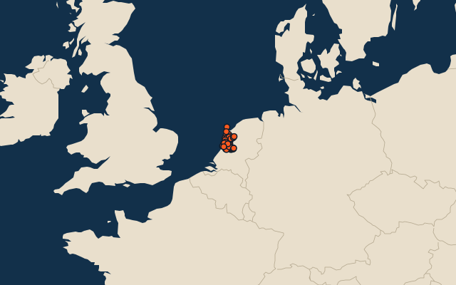
44 municipalities, each one drawn on a satellite globe. Name it when it lights up, find it when you are given its name, or type every one you can remember in Name all.
Free to play, with no account needed. What you miss comes back for review until it sticks.
The municipalities
- 1Hollands Kroon358 km²
- 2Haarlemmermeer197 km²
- 3Amsterdam188 km²
- 4Schagen168 km²
- 5Texel162 km²
- 6Medemblik121 km²
- 7Alkmaar110 km²
- 8Bergen99 km²
- 9Purmerend94 km²
- 10Koggenland80 km²
- 11Zaanstad74 km²
- 12Dijk en Waard62 km²
- 13Drechterland59 km²
- 14Edam-Volendam54 km²
- 15Waterland52 km²
- 16Castricum50 km²
- 17Wijdemeren48 km²
- 18Hilversum46 km²
- 19Den Helder45 km²
- 20Velsen45 km²
- 21Amstelveen41 km²
- 22Gooise Meren41 km²
- 23Opmeer41 km²
- 24Bloemendaal40 km²
- 25Wormerland39 km²
- 26Zandvoort32 km²
- 27Haarlem29 km²
- 28Heemskerk27 km²
- 29Ouder-Amstel24 km²
- 30Landsmeer22 km²
- 31Aalsmeer20 km²
- 32Hoorn20 km²
- 33Heiloo19 km²
- 34Uitgeest19 km²
- 35Beverwijk18 km²
- 36Uithoorn18 km²
- 37Huizen16 km²
- 38Stede Broec14 km²
- 39Enkhuizen13 km²
- 40Diemen12 km²
- 41Laren12 km²
- 42Oostzaan12 km²
- 43Blaricum11 km²
- 44Heemstede9 km²
Second-level units: the 341 municipalities, within the 15 provinces (the first level), which the region hint names. Area in km²: the official area where the national statistics office gives one (countries whose divisions changed since Natural Earth). Each item names its source. Sources: OpenStreetMap (ODbL), national statistics offices.
On the map