GeotchaA geography quiz on a real globe
Municipalities of Nordland
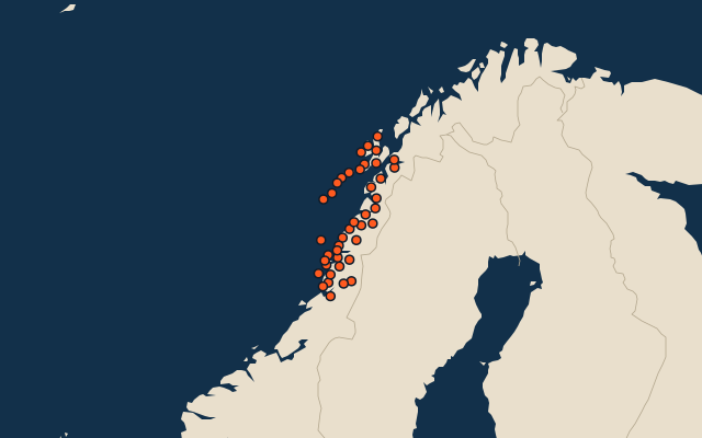
41 municipalities, each one drawn on a satellite globe. Name it when it lights up, find it when you are given its name, or type every one you can remember in Name all.
Free to play, with no account needed. What you miss comes back for review until it sticks.
The municipalities
- 1Rana4,203 km²
- 2Narvik3,195 km²
- 3Hattfjelldal2,411 km²
- 4Saltdal2,084 km²
- 5Grane1,881 km²
- 6Hábmer1,838 km²
- 7Vefsn1,838 km²
- 8Sørfold1,471 km²
- 9Hemnes1,430 km²
- 10Bodø1,311 km²
- 11Bindal1,192 km²
- 12Beiarn1,178 km²
- 13Fauske1,107 km²
- 14Brønnøy999 km²
- 15Steigen964 km²
- 16Meløy798 km²
- 17Sortland697 km²
- 18Rødøy686 km²
- 19Gildeskål622 km²
- 20Andøy617 km²
- 21Hadsel551 km²
- 22Vevelstad516 km²
- 23Lødingen508 km²
- 24Vågan460 km²
- 25Leirfjord451 km²
- 26Vestvågøy407 km²
- 27Øksnes311 km²
- 28Lurøy258 km²
- 29Evenes241 km²
- 30Bø235 km²
- 31Sømna192 km²
- 32Alstahaug187 km²
- 33Dønna186 km²
- 34Nesna181 km²
- 35Flakstad169 km²
- 36Vega163 km²
- 37Moskenes110 km²
- 38Herøy64 km²
- 39Værøy19 km²
- 40Træna16 km²
- 41Røst10 km²
Second-level units: the 355 municipalities, within the 15 counties (the first level), which the region hint names. Area in km²: the official area where the national statistics office gives one (countries whose divisions changed since Natural Earth). Each item names its source. Sources: OpenStreetMap (ODbL), national statistics offices.
On the map