GeotchaA geography quiz on a real globe
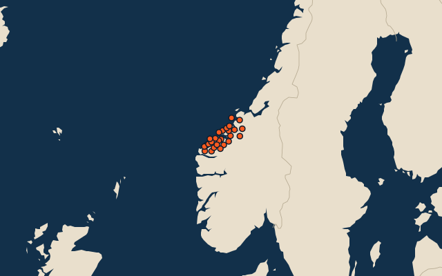
Municipalities of Møre og Romsdal
27 municipalities, each one drawn on a satellite globe. Name it when it lights up, find it when you are given its name, or type every one you can remember in Name all.
Free to play, with no account needed. What you miss comes back for review until it sticks.
The municipalities
- 1Sunndal1,648 km²
- 2Molde1,435 km²
- 3Rauma1,390 km²
- 4Surnadal1,314 km²
- 5Fjord1,143 km²
- 6Stranda844 km²
- 7Volda833 km²
- 8Ørsta650 km²
- 9Aure622 km²
- 10Hustadvika508 km²
- 11Vestnes399 km²
- 12Gjemnes371 km²
- 13Vanylven366 km²
- 14Ålesund353 km²
- 15Sykkylven329 km²
- 16Tingvoll322 km²
- 17Smøla261 km²
- 18Haram254 km²
- 19Averøy173 km²
- 20Herøy118 km²
- 21Ulstein95 km²
- 22Sande90 km²
- 23Kristiansund86 km²
- 24Hareid77 km²
- 25Aukra61 km²
- 26Sula57 km²
- 27Giske40 km²
Second-level units: the 355 municipalities, within the 15 counties (the first level), which the region hint names. Area in km²: the official area where the national statistics office gives one (countries whose divisions changed since Natural Earth). Each item names its source. Sources: OpenStreetMap (ODbL), national statistics offices.
On the map