GeotchaA geography quiz on a real globe
Municipalities of Agder
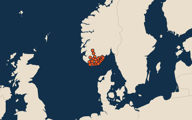
25 municipalities, each one drawn on a satellite globe. Name it when it lights up, find it when you are given its name, or type every one you can remember in Name all.
Free to play, with no account needed. What you miss comes back for review until it sticks.
The municipalities
- 1Sirdal1,373 km²
- 2Bykle1,254 km²
- 3Bygland1,150 km²
- 4Valle1,130 km²
- 5Åmli1,058 km²
- 6Kvinesdal887 km²
- 7Lindesnes883 km²
- 8Åseral797 km²
- 9Kristiansand611 km²
- 10Lyngdal606 km²
- 11Froland601 km²
- 12Birkenes596 km²
- 13Evje og Hornnes549 km²
- 14Flekkefjord482 km²
- 15Hægebostad424 km²
- 16Vennesla362 km²
- 17Vegårshei322 km²
- 18Gjerstad308 km²
- 19Grimstad272 km²
- 20Arendal255 km²
- 21Farsund252 km²
- 22Iveland246 km²
- 23Tvedestrand212 km²
- 24Lillesand180 km²
- 25Risør171 km²
Second-level units: the 355 municipalities, within the 15 counties (the first level), which the region hint names. Area in km²: the official area where the national statistics office gives one (countries whose divisions changed since Natural Earth). Each item names its source. Sources: OpenStreetMap (ODbL), national statistics offices.
On the map