GeotchaA geography quiz on a real globe
Districts of Thuringia
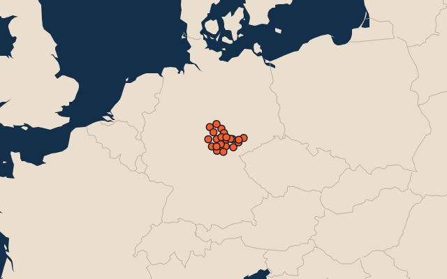
22 districts, each one drawn on a satellite globe. Name it when it lights up, find it when you are given its name, or type every one you can remember in Name all.
Free to play, with no account needed. What you miss comes back for review until it sticks.
The districts
- 1Wartburgkreis1,367 km²
- 2Schmalkalden-Meiningen1,251 km²
- 3Saale-Orla-Kreis1,151 km²
- 4Kyffhäuserkreis1,038 km²
- 5Saalfeld-Rudolstadt1,009 km²
- 6Eichsfeld1,002 km²
- 7Hildburghausen938 km²
- 8Gotha936 km²
- 9Unstrut-Hainich-Kreis924 km²
- 10Greiz846 km²
- 11Saale-Holzland-Kreis815 km²
- 12Sömmerda807 km²
- 13Ilm-Kreis805 km²
- 14Weimarer Land804 km²
- 15Nordhausen714 km²
- 16Altenburger Land569 km²
- 17Sonneberg461 km²
- 18Erfurt270 km²
- 19Gera152 km²
- 20Suhl142 km²
- 21Jena115 km²
- 22Weimar84 km²
Second-level units: the 400 districts, within the 16 states (the first level), which the region hint names. Area in km²: the official area where the national statistics office gives one (countries whose divisions changed since Natural Earth). Each item names its source. Sources: OpenStreetMap (ODbL), national statistics offices.
On the map