GeotchaA geography quiz on a real globe
Districts of Telangana
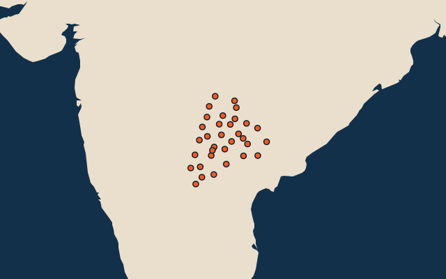
33 districts, each one drawn on a satellite globe. Name it when it lights up, find it when you are given its name, or type every one you can remember in Name all.
Free to play, with no account needed. What you miss comes back for review until it sticks.
The districts
- 1Bhadradri Kothagudem7,237 km²
- 2Nalgonda7,203 km²
- 3Nagarkurnool6,252 km²
- 4Ranga Reddy4,997 km²
- 5Kumaram Bheem Asifabad4,469 km²
- 6Khammam4,335 km²
- 7Sangareddy4,299 km²
- 8Mulugu4,279 km²
- 9Nizamabad4,211 km²
- 10Adilabad3,997 km²
- 11Mancherial3,924 km²
- 12Siddipet3,757 km²
- 13Kamareddy3,746 km²
- 14Nirmal3,715 km²
- 15Vikarabad3,620 km²
- 16Suryapet3,594 km²
- 17Mahabubabad3,493 km²
- 18Yadadri Bhuvanagiri3,432 km²
- 19Jayashankar Bhupalpally2,928 km²
- 20Mahbubnagar2,888 km²
- 21Medak2,887 km²
- 22Jagtial2,867 km²
- 23Jogulamba Gadwal2,572 km²
- 24Narayanpet2,361 km²
- 25Peddapalli2,212 km²
- 26Jangaon2,193 km²
- 27Wanaparthy2,172 km²
- 28Karimnagar2,004 km²
- 29Rajanna Sircilla1,790 km²
- 30Warangal1,765 km²
- 31Hanamkonda1,620 km²
- 32Medchal–Malkajgiri1,075 km²
- 33Hyderabad211 km²
Second-level units: the 770 districts, within the 36 states (the first level), which the region hint names. Area in km²: the official area where the national statistics office gives one (countries whose divisions changed since Natural Earth). Each item names its source. Sources: OpenStreetMap (ODbL), national statistics offices.
On the map