GeotchaA geography quiz on a real globe
Districts of Rheinland-Pfalz
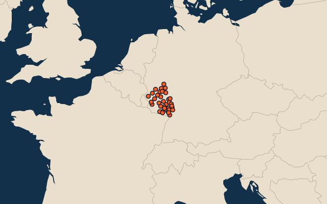
36 districts, each one drawn on a satellite globe. Name it when it lights up, find it when you are given its name, or type every one you can remember in Name all.
Free to play, with no account needed. What you miss comes back for review until it sticks.
The districts
- 1Bitburg-Prüm1,627 km²
- 2Bernkastel-Wittlich1,168 km²
- 3Trier-Saarburg1,102 km²
- 4Rhein-Hunsrück-Kreis991 km²
- 5Westerwaldkreis989 km²
- 6Südwestpfalz954 km²
- 7Vulkaneifel912 km²
- 8Bad Kreuznach864 km²
- 9Mayen-Koblenz818 km²
- 10Ahrweiler787 km²
- 11Rhein-Lahn-Kreis782 km²
- 12Birkenfeld777 km²
- 13Cochem-Zell692 km²
- 14Donnersbergkreis645 km²
- 15Altenkirchen642 km²
- 16Kaiserslautern District640 km²
- 17Südliche Weinstraße640 km²
- 18Neuwied627 km²
- 19Mainz-Bingen605 km²
- 20Bad Dürkheim595 km²
- 21Alzey-Worms588 km²
- 22Kusel574 km²
- 23Germersheim463 km²
- 24Rhein-Pfalz-Kreis305 km²
- 25Kaiserslautern140 km²
- 26Neustadt an der Weinstraße117 km²
- 27Trier117 km²
- 28Worms109 km²
- 29Koblenz105 km²
- 30Mainz98 km²
- 31Landau83 km²
- 32Ludwigshafen am Rhein77 km²
- 33Zweibrücken71 km²
- 34Pirmasens61 km²
- 35Frankenthal44 km²
- 36Speyer43 km²
Second-level units: the 400 districts, within the 16 states (the first level), which the region hint names. Area in km²: the official area where the national statistics office gives one (countries whose divisions changed since Natural Earth). Each item names its source. Sources: OpenStreetMap (ODbL), national statistics offices.
On the map
More in Rheinland-Pfalz
- 10 largest cities in Rheinland-Pfalz
- 8 longest rivers in Rheinland-Pfalz
- 9 highest peaks in Rheinland-Pfalz