GeotchaA geography quiz on a real globe
Districts of Rajasthan
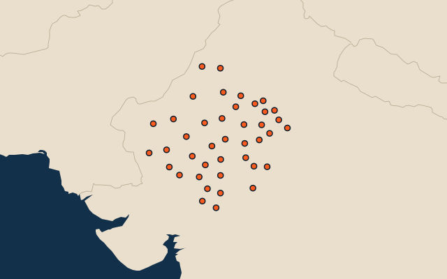
41 districts, each one drawn on a satellite globe. Name it when it lights up, find it when you are given its name, or type every one you can remember in Name all.
Free to play, with no account needed. What you miss comes back for review until it sticks.
The districts
- 1Jaisalmer38,438 km²
- 2Bikaner26,180 km²
- 3Barmer18,200 km²
- 4Churu13,879 km²
- 5Nagaur11,000 km²
- 6Balotra10,190 km²
- 7Hanumangarh9,924 km²
- 8Pali9,905 km²
- 9Phalodi9,408 km²
- 10Udaipur9,229 km²
- 11Chittorgarh7,803 km²
- 12Baran6,981 km²
- 13Didwana Kuchaman6,796 km²
- 14Jhalawar6,341 km²
- 15Bhilwara6,290 km²
- 16Sri Ganganagar6,222 km²
- 17Tonk6,202 km²
- 18Sikar5,803 km²
- 19Bundi5,780 km²
- 20Jalore5,776 km²
- 21Sirohi5,138 km²
- 22Kota5,098 km²
- 23Alwar4,763 km²
- 24Jhunjhunu4,661 km²
- 25Rajsamand4,631 km²
- 26Banswara4,480 km²
- 27Pratapgarh4,431 km²
- 28Beawar4,425 km²
- 29Ajmer4,045 km²
- 30Karauli3,831 km²
- 31Dungarpur3,790 km²
- 32Sawai Madhopur3,652 km²
- 33Dausa3,417 km²
- 34Dholpur3,033 km²
- 35Kotputli-Behror2,920 km²
- 36Bharatpur2,893 km²
- 37Salumbar2,480 km²
- 38Deeg2,169 km²
- 39Jaipur2,100 km²
- 40Khairthal-Tijara2,007 km²
- 41Jodhpur1,907 km²
Second-level units: the 770 districts, within the 36 states (the first level), which the region hint names. Area in km²: the official area where the national statistics office gives one (countries whose divisions changed since Natural Earth). Each item names its source. Sources: OpenStreetMap (ODbL), national statistics offices.
On the map