GeotchaA geography quiz on a real globe
Districts of North Rhine-Westphalia
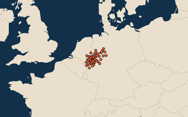
53 districts, each one drawn on a satellite globe. Name it when it lights up, find it when you are given its name, or type every one you can remember in Name all.
Free to play, with no account needed. What you miss comes back for review until it sticks.
The districts
- 1Hochsauerlandkreis1,960 km²
- 2Steinfurt1,796 km²
- 3Borken1,421 km²
- 4Soest1,329 km²
- 5Warendorf1,319 km²
- 6Euskirchen1,249 km²
- 7Paderborn1,247 km²
- 8Lippe1,246 km²
- 9Kleve1,233 km²
- 10Höxter1,201 km²
- 11Rhein-Sieg-Kreis1,153 km²
- 12Minden-Lübbecke1,152 km²
- 13Siegen-Wittgenstein1,133 km²
- 14Coesfeld1,112 km²
- 15Märkischer Kreis1,061 km²
- 16Wesel1,043 km²
- 17Gütersloh969 km²
- 18Düren941 km²
- 19Oberbergischer Kreis919 km²
- 20Recklinghausen761 km²
- 21Olpe712 km²
- 22Städteregion Aachen707 km²
- 23Rhein-Erft-Kreis705 km²
- 24Heinsberg628 km²
- 25Rhein-Kreis Neuss576 km²
- 26Viersen563 km²
- 27Unna543 km²
- 28Herford450 km²
- 29Rheinisch-Bergischer Kreis437 km²
- 30Ennepe-Ruhr-Kreis410 km²
- 31Mettmann407 km²
- 32Köln405 km²
- 33Münster303 km²
- 34Dortmund281 km²
- 35Bielefeld259 km²
- 36Duisburg233 km²
- 37Hamm226 km²
- 38Düsseldorf217 km²
- 39Essen210 km²
- 40Mönchengladbach170 km²
- 41Wuppertal168 km²
- 42Hagen160 km²
- 43Bochum146 km²
- 44Bonn141 km²
- 45Krefeld138 km²
- 46Gelsenkirchen105 km²
- 47Bottrop101 km²
- 48Mülheim91 km²
- 49Solingen90 km²
- 50Leverkusen79 km²
- 51Oberhausen77 km²
- 52Remscheid75 km²
- 53Herne51 km²
Second-level units: the 400 districts, within the 16 states (the first level), which the region hint names. Area in km²: the official area where the national statistics office gives one (countries whose divisions changed since Natural Earth). Each item names its source. Sources: OpenStreetMap (ODbL), national statistics offices.
On the map