GeotchaA geography quiz on a real globe
Districts of Konya
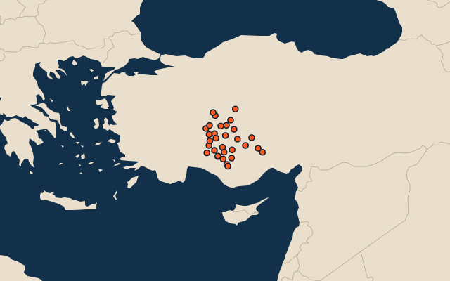
31 districts, each one drawn on a satellite globe. Name it when it lights up, find it when you are given its name, or type every one you can remember in Name all.
Free to play, with no account needed. What you miss comes back for review until it sticks.
The districts
- 1Cihanbeyli3,736 km²
- 2Karatay2,808 km²
- 3Karapınar2,639 km²
- 4Ereğli2,291 km²
- 5Yunak2,269 km²
- 6Çumra2,121 km²
- 7Kulu2,109 km²
- 8Beyşehir2,093 km²
- 9Selçuklu1,925 km²
- 10Meram1,895 km²
- 11Ilgın1,620 km²
- 12Sarayönü1,590 km²
- 13Kadınhanı1,586 km²
- 14Seydişehir1,405 km²
- 15Altınekin1,242 km²
- 16Bozkır1,063 km²
- 17Hadim1,062 km²
- 18Akşehir1,007 km²
- 19Emirgazi838 km²
- 20Tuzlukçu636 km²
- 21Derebucak614 km²
- 22Akören588 km²
- 23Çeltik576 km²
- 24Doğanhisar543 km²
- 25Güneysınır539 km²
- 26Halkapınar473 km²
- 27Taşkent441 km²
- 28Hüyük430 km²
- 29Ahırlı350 km²
- 30Derbent287 km²
- 31Yalıhüyük91 km²
Second-level units: the 973 districts, within the 81 provinces (the first level), which the region hint names. Area in km²: the official area where the national statistics office gives one (countries whose divisions changed since Natural Earth). Each item names its source. Sources: OpenStreetMap (ODbL), national statistics offices.
On the map