GeotchaA geography quiz on a real globe
Districts of İzmir
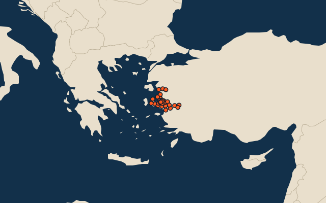
30 districts, each one drawn on a satellite globe. Name it when it lights up, find it when you are given its name, or type every one you can remember in Name all.
Free to play, with no account needed. What you miss comes back for review until it sticks.
The districts
- 1Bergama1,542 km²
- 2Ödemiş1,017 km²
- 3Menderes787 km²
- 4Tire765 km²
- 5Urla676 km²
- 6Kemalpaşa644 km²
- 7Menemen589 km²
- 8Bayındır557 km²
- 9Kiraz552 km²
- 10Torbalı552 km²
- 11Dikili547 km²
- 12Kınık495 km²
- 13Karaburun408 km²
- 14Aliağa387 km²
- 15Seferihisar387 km²
- 16Selçuk352 km²
- 17Çeşme273 km²
- 18Foça245 km²
- 19Bornova230 km²
- 20Buca205 km²
- 21Beydağ170 km²
- 22Çiğli133 km²
- 23Karabağlar99 km²
- 24Güzelbahçe83 km²
- 25Gaziemir63 km²
- 26Karşıyaka51 km²
- 27Narlıdere45 km²
- 28Bayraklı34 km²
- 29Konak24 km²
- 30Balçova21 km²
Second-level units: the 973 districts, within the 81 provinces (the first level), which the region hint names. Area in km²: the official area where the national statistics office gives one (countries whose divisions changed since Natural Earth). Each item names its source. Sources: OpenStreetMap (ODbL), national statistics offices.
On the map