GeotchaA geography quiz on a real globe
Districts of Hesse
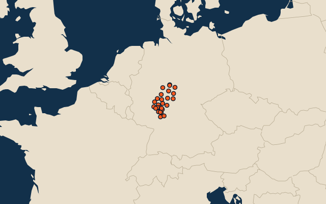
26 districts, each one drawn on a satellite globe. Name it when it lights up, find it when you are given its name, or type every one you can remember in Name all.
Free to play, with no account needed. What you miss comes back for review until it sticks.
The districts
- 1Waldeck-Frankenberg1,849 km²
- 2Schwalm-Eder-Kreis1,539 km²
- 3Vogelsbergkreis1,459 km²
- 4Main-Kinzig-Kreis1,397 km²
- 5Fulda1,380 km²
- 6Kassel District1,293 km²
- 7Marburg-Biedenkopf1,262 km²
- 8Wetteraukreis1,101 km²
- 9Hersfeld-Rotenburg1,098 km²
- 10Lahn-Dill-Kreis1,066 km²
- 11Werra-Meißner-Kreis1,025 km²
- 12Gießen855 km²
- 13Rheingau-Taunus-Kreis811 km²
- 14Limburg-Weilburg738 km²
- 15Bergstraße719 km²
- 16Darmstadt-Dieburg659 km²
- 17Odenwaldkreis624 km²
- 18Hochtaunuskreis482 km²
- 19Groß-Gerau453 km²
- 20Offenbach356 km²
- 21Frankfurt am Main248 km²
- 22Main-Taunus-Kreis223 km²
- 23Wiesbaden204 km²
- 24Darmstadt122 km²
- 25Kassel107 km²
- 26Offenbach am Main45 km²
Second-level units: the 400 districts, within the 16 states (the first level), which the region hint names. Area in km²: the official area where the national statistics office gives one (countries whose divisions changed since Natural Earth). Each item names its source. Sources: OpenStreetMap (ODbL), national statistics offices.
On the map