GeotchaA geography quiz on a real globe
Districts of Gujarat
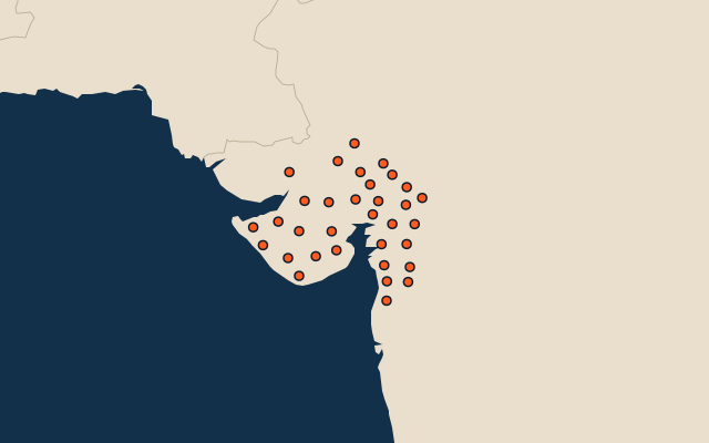
33 districts, each one drawn on a satellite globe. Name it when it lights up, find it when you are given its name, or type every one you can remember in Name all.
Free to play, with no account needed. What you miss comes back for review until it sticks.
The districts
- 1Kutch38,665 km²
- 2Banaskantha10,778 km²
- 3Surendranagar9,151 km²
- 4Rajkot7,622 km²
- 5Amreli7,385 km²
- 6Ahmedabad6,968 km²
- 7Jamnagar6,610 km²
- 8Bhavnagar6,579 km²
- 9Patan5,774 km²
- 10Bharuch5,345 km²
- 11Junagadh5,050 km²
- 12Morbi4,842 km²
- 13Mehsana4,426 km²
- 14Surat4,226 km²
- 15Devbhumi Dwarka4,188 km²
- 16Sabarkantha4,143 km²
- 17Vadodara4,053 km²
- 18Gir Somnath3,766 km²
- 19Dahod3,664 km²
- 20Chhota Udaipur3,458 km²
- 21Kheda3,392 km²
- 22Panchmahal3,288 km²
- 23Aravalli3,255 km²
- 24Tapi3,139 km²
- 25Valsad2,951 km²
- 26Narmada2,810 km²
- 27Anand2,736 km²
- 28Botad2,632 km²
- 29Mahisagar2,514 km²
- 30Porbandar2,315 km²
- 31Navsari2,205 km²
- 32Gandhinagar2,085 km²
- 33Dang1,764 km²
Second-level units: the 770 districts, within the 36 states (the first level), which the region hint names. Area in km²: the official area where the national statistics office gives one (countries whose divisions changed since Natural Earth). Each item names its source. Sources: OpenStreetMap (ODbL), national statistics offices.
On the map