GeotchaA geography quiz on a real globe
Districts of Bavaria
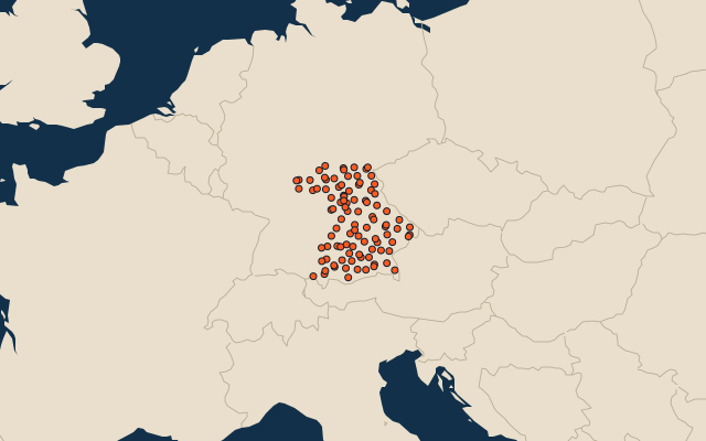
96 districts, each one drawn on a satellite globe. Name it when it lights up, find it when you are given its name, or type every one you can remember in Name all.
Free to play, with no account needed. What you miss comes back for review until it sticks.
The districts
- 1Ansbach District1,971 km²
- 2Traunstein1,534 km²
- 3Passau District1,530 km²
- 4Oberallgäu1,528 km²
- 5Cham1,527 km²
- 6Schwandorf1,458 km²
- 7Rosenheim District1,439 km²
- 8Neustadt an der Waldnaab1,426 km²
- 9Ostallgäu1,394 km²
- 10Regensburg District1,392 km²
- 11Landshut District1,348 km²
- 12Neumarkt1,344 km²
- 13Main-Spessart1,321 km²
- 14Rottal-Inn1,281 km²
- 15Bayreuth District1,276 km²
- 16Donau-Ries1,275 km²
- 17Neustadt (Aisch)-Bad Windsheim1,267 km²
- 18Amberg-Sulzbach1,256 km²
- 19Unterallgäu1,230 km²
- 20Eichstätt1,214 km²
- 21Straubing-Bogen1,202 km²
- 22Bamberg District1,168 km²
- 23Bad Kissingen1,137 km²
- 24Bad Tölz-Wolfratshausen1,111 km²
- 25Tirschenreuth1,084 km²
- 26Augsburg District1,071 km²
- 27Kelheim1,065 km²
- 28Rhön-Grabfeld1,022 km²
- 29Garmisch-Partenkirchen1,012 km²
- 30Freyung-Grafenau984 km²
- 31Regen975 km²
- 32Weißenburg-Gunzenhausen971 km²
- 33Würzburg District968 km²
- 34Weilheim-Schongau966 km²
- 35Haßberge956 km²
- 36Roth895 km²
- 37Hof District893 km²
- 38Dingolfing-Landau878 km²
- 39Erding871 km²
- 40Miesbach866 km²
- 41Deggendorf861 km²
- 42Schweinfurt District841 km²
- 43Berchtesgadener Land840 km²
- 44Mühldorf805 km²
- 45Landsberg804 km²
- 46Freising800 km²
- 47Nürnberger Land800 km²
- 48Dillingen792 km²
- 49Aichach-Friedberg780 km²
- 50Günzburg762 km²
- 51Pfaffenhofen761 km²
- 52Neuburg-Schrobenhausen740 km²
- 53Miltenberg716 km²
- 54Aschaffenburg District699 km²
- 55Kitzingen684 km²
- 56Munich District664 km²
- 57Kulmbach658 km²
- 58Kronach652 km²
- 59Forchheim643 km²
- 60Wunsiedel606 km²
and 36 more, all in the quiz.
Second-level units: the 400 districts, within the 16 states (the first level), which the region hint names. Area in km²: the official area where the national statistics office gives one (countries whose divisions changed since Natural Earth). Each item names its source. Sources: OpenStreetMap (ODbL), national statistics offices.
On the map