GeotchaA geography quiz on a real globe
Districts of Baden-Württemberg
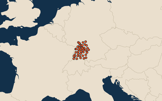
44 districts, each one drawn on a satellite globe. Name it when it lights up, find it when you are given its name, or type every one you can remember in Name all.
Free to play, with no account needed. What you miss comes back for review until it sticks.
The districts
- 1Ortenaukreis1,860 km²
- 2Ravensburg1,632 km²
- 3Ostalbkreis1,511 km²
- 4Schwäbisch Hall1,484 km²
- 5Biberach1,410 km²
- 6Breisgau-Hochschwarzwald1,378 km²
- 7Alb-Donau-Kreis1,359 km²
- 8Main-Tauber-Kreis1,304 km²
- 9Sigmaringen1,204 km²
- 10Waldshut1,131 km²
- 11Neckar-Odenwald-Kreis1,126 km²
- 12Heilbronn District1,100 km²
- 13Reutlingen1,092 km²
- 14Karlsruhe District1,085 km²
- 15Rhein-Neckar-Kreis1,062 km²
- 16Schwarzwald-Baar-Kreis1,025 km²
- 17Zollernalbkreis918 km²
- 18Freudenstadt870 km²
- 19Rems-Murr-Kreis858 km²
- 20Konstanz818 km²
- 21Lörrach807 km²
- 22Calw797 km²
- 23Hohenlohekreis777 km²
- 24Rottweil769 km²
- 25Rastatt738 km²
- 26Tuttlingen734 km²
- 27Ludwigsburg687 km²
- 28Emmendingen680 km²
- 29Bodenseekreis665 km²
- 30Göppingen642 km²
- 31Esslingen641 km²
- 32Heidenheim627 km²
- 33Böblingen618 km²
- 34Enzkreis574 km²
- 35Tübingen519 km²
- 36Stuttgart207 km²
- 37Karlsruhe173 km²
- 38Freiburg im Breisgau153 km²
- 39Mannheim145 km²
- 40Baden-Baden140 km²
- 41Ulm119 km²
- 42Heidelberg109 km²
- 43Heilbronn100 km²
- 44Pforzheim98 km²
Second-level units: the 400 districts, within the 16 states (the first level), which the region hint names. Area in km²: the official area where the national statistics office gives one (countries whose divisions changed since Natural Earth). Each item names its source. Sources: OpenStreetMap (ODbL), national statistics offices.
On the map
More in Baden-Württemberg
- 10 largest cities in Baden-Württemberg
- 8 longest rivers in Baden-Württemberg
- 19 highest peaks in Baden-Württemberg