GeotchaA geography quiz on a real globe
Districts of Assam
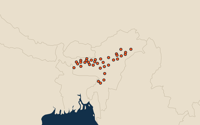
35 districts, each one drawn on a satellite globe. Name it when it lights up, find it when you are given its name, or type every one you can remember in Name all.
Free to play, with no account needed. What you miss comes back for review until it sticks.
The districts
- 1Karbi Anglong7,318 km²
- 2Dima Hasao4,884 km²
- 3Tinsukia3,810 km²
- 4Cachar3,784 km²
- 5Sonitpur3,480 km²
- 6Dibrugarh3,395 km²
- 7Golaghat3,278 km²
- 8Kokrajhar3,153 km²
- 9Kamrup3,122 km²
- 10West Karbi Anglong3,081 km²
- 11Lakhimpur2,924 km²
- 12Nagaon2,592 km²
- 13Dhemaji2,538 km²
- 14Jorhat2,052 km²
- 15Udalguri1,979 km²
- 16Chirang1,943 km²
- 17Goalpara1,929 km²
- 18Barpeta1,872 km²
- 19Karimganj1,816 km²
- 20Biswanath1,773 km²
- 21Darrang1,618 km²
- 22Sivasagar1,574 km²
- 23Baksa1,562 km²
- 24Morigaon1,556 km²
- 25Dhubri1,540 km²
- 26Hojai1,449 km²
- 27Hailakandi1,329 km²
- 28Bongaigaon1,127 km²
- 29Charaideo1,066 km²
- 30Nalbari1,052 km²
- 31Kamrup Metropolitan939 km²
- 32Tamulpur873 km²
- 33Majuli798 km²
- 34South Salmara-Mankachar679 km²
- 35Bajali412 km²
Second-level units: the 770 districts, within the 36 states (the first level), which the region hint names. Area in km²: the official area where the national statistics office gives one (countries whose divisions changed since Natural Earth). Each item names its source. Sources: OpenStreetMap (ODbL), national statistics offices.
On the map