GeotchaA geography quiz on a real globe
Districts of Arunachal Pradesh
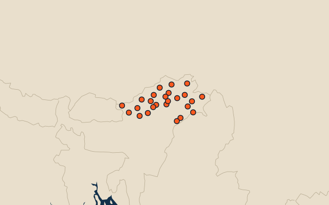
25 districts, each one drawn on a satellite globe. Name it when it lights up, find it when you are given its name, or type every one you can remember in Name all.
Free to play, with no account needed. What you miss comes back for review until it sticks.
The districts
- 1Dibang Valley9,439 km²
- 2Upper Siang6,746 km²
- 3Upper Subansiri6,478 km²
- 4Anjaw6,157 km²
- 5Changlang5,060 km²
- 6West Kameng4,926 km²
- 7East Kameng4,436 km²
- 8Kurung Kumey4,412 km²
- 9Lower Dibang Valley3,730 km²
- 10Papum Pare3,447 km²
- 11Siang3,010 km²
- 12Lohit2,619 km²
- 13Shi Yomi2,570 km²
- 14Kra Daadi2,430 km²
- 15Tawang2,428 km²
- 16Pakke-Kessang1,875 km²
- 17Lower Siang1,721 km²
- 18East Siang1,654 km²
- 19West Siang1,653 km²
- 20Kamle1,502 km²
- 21Namsai1,366 km²
- 22Lower Subansiri1,194 km²
- 23Tirap1,105 km²
- 24Longding918 km²
- 25Lepa Rada834 km²
Second-level units: the 770 districts, within the 36 states (the first level), which the region hint names. Area in km²: the official area where the national statistics office gives one (countries whose divisions changed since Natural Earth). Each item names its source. Sources: OpenStreetMap (ODbL), national statistics offices.
On the map