GeotchaA geography quiz on a real globe
Districts of Ankara
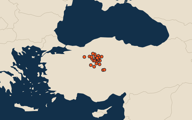
25 districts, each one drawn on a satellite globe. Name it when it lights up, find it when you are given its name, or type every one you can remember in Name all.
Free to play, with no account needed. What you miss comes back for review until it sticks.
The districts
- 1Polatlı3,527 km²
- 2Haymana2,220 km²
- 3Şereflikoçhisar2,105 km²
- 4Nallıhan2,000 km²
- 5Balâ1,832 km²
- 6Beypazarı1,732 km²
- 7Kızılcahamam1,631 km²
- 8Gölbaşı1,513 km²
- 9Çubuk1,167 km²
- 10Kalecik1,047 km²
- 11Ayaş1,017 km²
- 12Sincan862 km²
- 13Çamlıdere783 km²
- 14Elmadağ632 km²
- 15Kahramankazan616 km²
- 16Güdül601 km²
- 17Çankaya454 km²
- 18Akyurt374 km²
- 19Mamak346 km²
- 20Etimesgut283 km²
- 21Evren246 km²
- 22Yenimahalle232 km²
- 23Altındağ158 km²
- 24Keçiören152 km²
- 25Pursaklar134 km²
Second-level units: the 973 districts, within the 81 provinces (the first level), which the region hint names. Area in km²: the official area where the national statistics office gives one (countries whose divisions changed since Natural Earth). Each item names its source. Sources: OpenStreetMap (ODbL), national statistics offices.
On the map