GeotchaA geography quiz on a real globe
Departments of Santiago del Estero
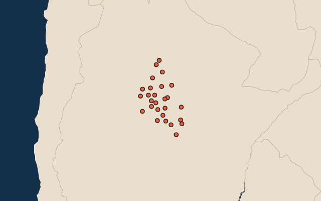
27 departments, each one drawn on a satellite globe. Name it when it lights up, find it when you are given its name, or type every one you can remember in Name all.
Free to play, with no account needed. What you miss comes back for review until it sticks.
The departments
- 1Moreno16,127 km²
- 2Alberdi13,507 km²
- 3Copo12,604 km²
- 4Juan Felipe Ibarra9,139 km²
- 5Pellegrini7,330 km²
- 6Figueroa6,695 km²
- 7Choya6,492 km²
- 8Ojo de Agua6,269 km²
- 9General Taboada6,040 km²
- 10Jiménez4,832 km²
- 11Avellaneda3,902 km²
- 12Aguirre3,692 km²
- 13Mitre3,667 km²
- 14Banda3,597 km²
- 15Salavina3,562 km²
- 16Quebrachos3,507 km²
- 17Rivadavia3,402 km²
- 18Loreto3,337 km²
- 19Belgrano3,314 km²
- 20Guasayán2,588 km²
- 21Atamisqui2,259 km²
- 22Río Hondo2,124 km²
- 23Capital2,116 km²
- 24San Martín2,097 km²
- 25Sarmiento1,549 km²
- 26Robles1,424 km²
- 27Silípica1,179 km²
Second-level units: the 513 departments, within the 24 provinces (the first level), which the region hint names. Area in km²: the official area where the national statistics office gives one (countries whose divisions changed since Natural Earth). Each item names its source. Sources: OpenStreetMap (ODbL), national statistics offices.
On the map