GeotchaA geography quiz on a real globe
Departments of Salta
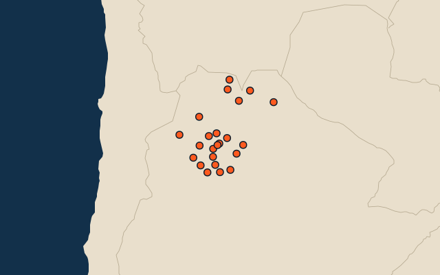
23 departments, each one drawn on a satellite globe. Name it when it lights up, find it when you are given its name, or type every one you can remember in Name all.
Free to play, with no account needed. What you miss comes back for review until it sticks.
The departments
- 1Rivadavia25,951 km²
- 2Los Andes25,636 km²
- 3Anta21,945 km²
- 4General José de San Martín16,257 km²
- 5Orán11,892 km²
- 6Rosario de la Frontera5,402 km²
- 7Metán5,235 km²
- 8San Carlos5,125 km²
- 9Rosario de Lerma5,110 km²
- 10La Poma4,447 km²
- 11Santa Victoria3,912 km²
- 12Molinos3,600 km²
- 13Iruya3,515 km²
- 14Cachi2,925 km²
- 15Guachipas2,785 km²
- 16General Güemes2,365 km²
- 17La Viña2,152 km²
- 18Capital1,722 km²
- 19Cafayate1,570 km²
- 20La Candelaria1,525 km²
- 21Chicoana910 km²
- 22La Caldera867 km²
- 23Cerrillos640 km²
Second-level units: the 513 departments, within the 24 provinces (the first level), which the region hint names. Area in km²: the official area where the national statistics office gives one (countries whose divisions changed since Natural Earth). Each item names its source. Sources: OpenStreetMap (ODbL), national statistics offices.
On the map