GeotchaA geography quiz on a real globe
Counties of West Virginia
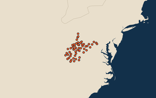
55 counties, each one drawn on a satellite globe. Name it when it lights up, find it when you are given its name, or type every one you can remember in Name all.
Free to play, with no account needed. What you miss comes back for review until it sticks.
The counties
- 1Randolph County2,693 km²
- 2Greenbrier County2,641 km²
- 3Pocahontas County2,435 km²
- 4Kanawha County2,335 km²
- 5Pendleton County1,803 km²
- 6Fayette County1,714 km²
- 7Preston County1,680 km²
- 8Nicholas County1,675 km²
- 9Hampshire County1,659 km²
- 10Raleigh County1,568 km²
- 11Hardy County1,508 km²
- 12Webster County1,433 km²
- 13McDowell County1,382 km²
- 14Braxton County1,323 km²
- 15Wayne County1,311 km²
- 16Boone County1,299 km²
- 17Wyoming County1,294 km²
- 18Roane County1,252 km²
- 19Grant County1,236 km²
- 20Monroe County1,224 km²
- 21Jackson County1,203 km²
- 22Logan County1,175 km²
- 23Ritchie County1,171 km²
- 24Lincoln County1,132 km²
- 25Mason County1,116 km²
- 26Mingo County1,096 km²
- 27Mercer County1,085 km²
- 28Tucker County1,085 km²
- 29Harrison County1,077 km²
- 30Lewis County1,002 km²
- 31Wood County949 km²
- 32Summers County934 km²
- 33Monongalia County933 km²
- 34Wetzel County927 km²
- 35Upshur County919 km²
- 36Putnam County895 km²
- 37Clay County886 km²
- 38Barbour County883 km²
- 39Gilmer County877 km²
- 40Mineral County849 km²
- 41Berkeley County832 km²
- 42Doddridge County828 km²
- 43Marion County800 km²
- 44Marshall County791 km²
- 45Cabell County728 km²
- 46Calhoun County723 km²
- 47Tyler County664 km²
- 48Wirt County602 km²
- 49Morgan County593 km²
- 50Jefferson County542 km²
- 51Taylor County447 km²
- 52Pleasants County337 km²
- 53Ohio County274 km²
- 54Brooke County231 km²
- 55Hancock County214 km²
Second-level units: the 3135 counties, within the 51 states (the first level), which the region hint names. Area in km²: the official area where the national statistics office gives one (countries whose divisions changed since Natural Earth). Each item names its source. Sources: OpenStreetMap (ODbL), national statistics offices.
On the map