GeotchaA geography quiz on a real globe
Counties of Washington
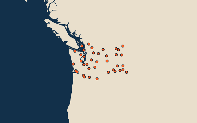
39 counties, each one drawn on a satellite globe. Name it when it lights up, find it when you are given its name, or type every one you can remember in Name all.
Free to play, with no account needed. What you miss comes back for review until it sticks.
The counties
- 1Okanogan County13,639 km²
- 2Yakima County11,123 km²
- 3Chelan County7,566 km²
- 4Grant County6,940 km²
- 5Stevens County6,416 km²
- 6Lewis County6,223 km²
- 7Lincoln County5,984 km²
- 8Kittitas County5,950 km²
- 9Ferry County5,706 km²
- 10Whitman County5,592 km²
- 11King County5,478 km²
- 12Whatcom County5,459 km²
- 13Snohomish County5,404 km²
- 14Adams County4,986 km²
- 15Grays Harbor County4,925 km²
- 16Klickitat County4,848 km²
- 17Douglas County4,712 km²
- 18Jefferson County4,672 km²
- 19Spokane County4,569 km²
- 20Clallam County4,503 km²
- 21Skagit County4,481 km²
- 22Benton County4,403 km²
- 23Pierce County4,320 km²
- 24Skamania County4,295 km²
- 25Pend Oreille County3,627 km²
- 26Walla Walla County3,289 km²
- 27Franklin County3,216 km²
- 28Cowlitz County2,956 km²
- 29Mason County2,485 km²
- 30Pacific County2,418 km²
- 31Columbia County2,250 km²
- 32Thurston County1,871 km²
- 33Garfield County1,841 km²
- 34Asotin County1,647 km²
- 35Clark County1,628 km²
- 36Kitsap County1,023 km²
- 37Wahkiakum County681 km²
- 38Island County540 km²
- 39San Juan County450 km²
Second-level units: the 3135 counties, within the 51 states (the first level), which the region hint names. Area in km²: the official area where the national statistics office gives one (countries whose divisions changed since Natural Earth). Each item names its source. Sources: OpenStreetMap (ODbL), national statistics offices.
On the map
More in Washington
- 10 largest cities in Washington
- 14 longest rivers in Washington
- 25 highest peaks in Washington
- 25 largest islands in Washington