GeotchaA geography quiz on a real globe
Counties of Warmia-Masuria
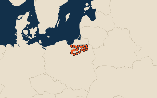
21 counties, each one drawn on a satellite globe. Name it when it lights up, find it when you are given its name, or type every one you can remember in Name all.
Free to play, with no account needed. What you miss comes back for review until it sticks.
The counties
- 1Olsztyn County2,838 km²
- 2Szczytno County1,933 km²
- 3Pisz County1,775 km²
- 4Ostróda County1,767 km²
- 5Iława County1,385 km²
- 6Elbląg County1,316 km²
- 7Bartoszyce County1,307 km²
- 8Kętrzyn County1,213 km²
- 9Braniewo County1,141 km²
- 10Giżycko County1,120 km²
- 11Ełk County1,113 km²
- 12Mrągowo County1,065 km²
- 13Nidzica County961 km²
- 14Działdowo County954 km²
- 15Lidzbark County925 km²
- 16Olecko County874 km²
- 17Gołdap County772 km²
- 18Nowe Miasto County694 km²
- 19Węgorzewo County693 km²
- 20Olsztyn88 km²
- 21Elbląg80 km²
Second-level units: the 380 counties, within the 16 voivodeships (the first level), which the region hint names. Area in km²: the official area where the national statistics office gives one (countries whose divisions changed since Natural Earth). Each item names its source. Sources: OpenStreetMap (ODbL), national statistics offices.
On the map