GeotchaA geography quiz on a real globe
Counties of Virginia
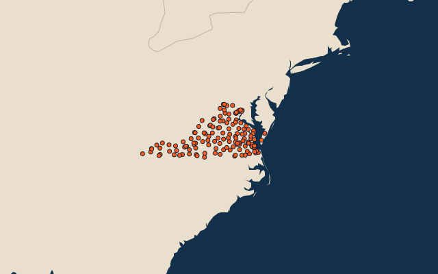
133 counties, each one drawn on a satellite globe. Name it when it lights up, find it when you are given its name, or type every one you can remember in Name all.
Free to play, with no account needed. What you miss comes back for review until it sticks.
The counties
- 1Pittsylvania County2,510 km²
- 2Augusta County2,505 km²
- 3Rockingham County2,201 km²
- 4Halifax County2,118 km²
- 5Bedford County1,969 km²
- 6Albemarle County1,866 km²
- 7Franklin County1,789 km²
- 8Fauquier County1,678 km²
- 9Mecklenburg County1,620 km²
- 10Southampton County1,552 km²
- 11Rockbridge County1,545 km²
- 12Buckingham County1,501 km²
- 13Brunswick County1,467 km²
- 14Washington County1,453 km²
- 15Botetourt County1,402 km²
- 16Scott County1,388 km²
- 17Bath County1,371 km²
- 18Caroline County1,366 km²
- 19Tazewell County1,344 km²
- 20Loudoun County1,336 km²
- 21Shenandoah County1,316 km²
- 22Dinwiddie County1,305 km²
- 23Campbell County1,303 km²
- 24Buchanan County1,302 km²
- 25Louisa County1,282 km²
- 26Sussex County1,270 km²
- 27Patrick County1,251 km²
- 28Charlotte County1,231 km²
- 29Carroll County1,230 km²
- 30Amherst County1,228 km²
- 31Russell County1,226 km²
- 32Nelson County1,219 km²
- 33Hanover County1,211 km²
- 34Wythe County1,196 km²
- 35Smyth County1,169 km²
- 36Accomack County1,164 km²
- 37Alleghany County1,157 km²
- 38Grayson County1,144 km²
- 39Lee County1,128 km²
- 40Lunenburg County1,118 km²
- 41Chesterfield County1,097 km²
- 42Highland County1,075 km²
- 43Frederick County1,070 km²
- 44Wise County1,045 km²
- 45Spotsylvania County1,040 km²
- 46Suffolk1,034 km²
- 47Fairfax County1,013 km²
- 48Montgomery County1,002 km²
- 49Henry County990 km²
- 50Floyd County987 km²
- 51Culpeper County982 km²
- 52Bland County926 km²
- 53Giles County925 km²
- 54Amelia County920 km²
- 55Prince Edward County906 km²
- 56Orange County883 km²
- 57Chesapeake877 km²
- 58Prince William County868 km²
- 59Appomattox County866 km²
- 60Dickenson County856 km²
and 73 more, all in the quiz.
Second-level units: the 3135 counties, within the 51 states (the first level), which the region hint names. Area in km²: the official area where the national statistics office gives one (countries whose divisions changed since Natural Earth). Each item names its source. Sources: OpenStreetMap (ODbL), national statistics offices.
On the map