GeotchaA geography quiz on a real globe
Counties of South Dakota
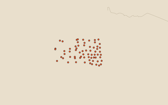
66 counties, each one drawn on a satellite globe. Name it when it lights up, find it when you are given its name, or type every one you can remember in Name all.
Free to play, with no account needed. What you miss comes back for review until it sticks.
The counties
- 1Meade County8,990 km²
- 2Perkins County7,434 km²
- 3Pennington County7,192 km²
- 4Harding County6,919 km²
- 5Corson County6,396 km²
- 6Dewey County5,963 km²
- 7Butte County5,827 km²
- 8Oglala Lakota County5,422 km²
- 9Ziebach County5,080 km²
- 10Jackson County4,827 km²
- 11Haakon County4,689 km²
- 12Fall River County4,506 km²
- 13Brown County4,437 km²
- 14Lyman County4,253 km²
- 15Tripp County4,176 km²
- 16Custer County4,032 km²
- 17Spink County3,894 km²
- 18Stanley County3,741 km²
- 19Hand County3,721 km²
- 20Todd County3,596 km²
- 21Mellette County3,386 km²
- 22Beadle County3,260 km²
- 23Bennett County3,068 km²
- 24McPherson County2,944 km²
- 25Edmunds County2,916 km²
- 26Roberts County2,852 km²
- 27Charles Mix County2,842 km²
- 28Day County2,664 km²
- 29Gregory County2,629 km²
- 30Sully County2,607 km²
- 31Faulk County2,543 km²
- 32Jones County2,511 km²
- 33Clark County2,480 km²
- 34Potter County2,230 km²
- 35Hyde County2,229 km²
- 36Marshall County2,171 km²
- 37Kingsbury County2,155 km²
- 38Brule County2,117 km²
- 39Hutchinson County2,106 km²
- 40Minnehaha County2,090 km²
- 41Lawrence County2,072 km²
- 42Brookings County2,052 km²
- 43Hughes County1,921 km²
- 44Campbell County1,900 km²
- 45Aurora County1,835 km²
- 46Walworth County1,835 km²
- 47Codington County1,781 km²
- 48Grant County1,765 km²
- 49Deuel County1,613 km²
- 50Turner County1,598 km²
- 51Lincoln County1,495 km²
- 52McCook County1,487 km²
- 53Miner County1,477 km²
- 54Sanborn County1,474 km²
- 55Bon Homme County1,460 km²
- 56Lake County1,458 km²
- 57Jerauld County1,363 km²
- 58Yankton County1,350 km²
- 59Moody County1,345 km²
- 60Hamlin County1,313 km²
and 6 more, all in the quiz.
Second-level units: the 3135 counties, within the 51 states (the first level), which the region hint names. Area in km²: the official area where the national statistics office gives one (countries whose divisions changed since Natural Earth). Each item names its source. Sources: OpenStreetMap (ODbL), national statistics offices.
On the map