GeotchaA geography quiz on a real globe
Counties of Silesia
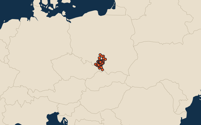
36 counties, each one drawn on a satellite globe. Name it when it lights up, find it when you are given its name, or type every one you can remember in Name all.
Free to play, with no account needed. What you miss comes back for review until it sticks.
The counties
- 1Częstochowa County1,522 km²
- 2Żywiec County1,040 km²
- 3Zawiercie County1,004 km²
- 4Kłobuck County889 km²
- 5Lubliniec County822 km²
- 6Cieszyn County730 km²
- 7Gliwice County665 km²
- 8Tarnowskie Góry County644 km²
- 9Racibórz County544 km²
- 10Myszków County479 km²
- 11Pszczyna County471 km²
- 12Bielsko County458 km²
- 13Będzin County364 km²
- 14Wodzisław County287 km²
- 15Mikołów County233 km²
- 16Rybnik County224 km²
- 17Dąbrowa Górnicza189 km²
- 18Katowice165 km²
- 19Częstochowa160 km²
- 20Bieruń-Lędziny County158 km²
- 21Jaworzno152 km²
- 22Rybnik148 km²
- 23Gliwice134 km²
- 24Bielsko-Biała124 km²
- 25Sosnowiec91 km²
- 26Jastrzębie-Zdrój85 km²
- 27Tychy82 km²
- 28Zabrze80 km²
- 29Ruda Śląska78 km²
- 30Bytom69 km²
- 31Mysłowice66 km²
- 32Żory65 km²
- 33Piekary Śląskie40 km²
- 34Chorzów33 km²
- 35Siemianowice Śląskie26 km²
- 36Świętochłowice13 km²
Second-level units: the 380 counties, within the 16 voivodeships (the first level), which the region hint names. Area in km²: the official area where the national statistics office gives one (countries whose divisions changed since Natural Earth). Each item names its source. Sources: OpenStreetMap (ODbL), national statistics offices.
On the map