GeotchaA geography quiz on a real globe
Counties of Pomerania, Poland
20 counties, each one drawn on a satellite globe. Name it when it lights up, find it when you are given its name, or type every one you can remember in Name all.
Free to start: a few quizzes a day cost nothing, and Geotcha Plus opens every quiz. What you miss comes back for review until it sticks.
The full list
About this quiz
Słupsk County is the largest of the 20 counties in this quiz, at 2,295 km²; Sopot is the smallest listed, at 17 km². The three largest hold 33% of the combined area of all 20.
The counties
- 1Słupsk County2,295 km²
- 2Bytów County2,192 km²
- 3Człuchów County1,575 km²
- 4Chojnice County1,364 km²
- 5Starogard County1,346 km²
- 6Wejherowo County1,285 km²
- 7Kościerzyna County1,166 km²
- 8Kartuzy County1,121 km²
- 9Kwidzyn County835 km²
- 10Gdańsk County794 km²
- 11Sztum County731 km²
- 12Lębork County706 km²
- 13Tczew County697 km²
- 14Puck County572 km²
- 15Nowy Dwór Gdański County533 km²
- 16Malbork County494 km²
- 17Gdańsk260 km²
- 18Gdynia132 km²
- 19Słupsk53 km²
- 20Sopot17 km²
On the map
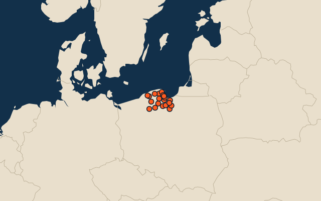
All of Poland
More in Pomerania
Elsewhere in Poland
- Counties of Lower Silesia
- Counties of Kujawsko-Pomorskie
- Counties of Łódź Voivodeship
- Counties of Lublin
- Counties of Lubusz
- Counties of Lesser Poland
- Counties of Mazovia
- Counties of Opole Voivodeship
Poland, by kind
- 25 largest cities in Poland
- 9 largest lakes in Poland
- 25 longest rivers in Poland
- 25 highest peaks in Poland
How the figures are measured
Second-level units: the 380 counties, within the 16 voivodeships (the first level), which the region hint names.