GeotchaA geography quiz on a real globe
Counties of Lower Silesia
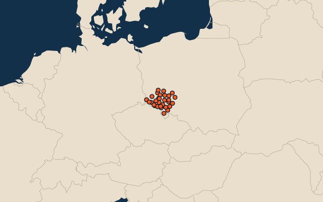
30 counties, each one drawn on a satellite globe. Name it when it lights up, find it when you are given its name, or type every one you can remember in Name all.
Free to play, with no account needed. What you miss comes back for review until it sticks.
The counties
- 1Kłodzko County1,643 km²
- 2Bolesławiec County1,303 km²
- 3Wrocław County1,118 km²
- 4Oleśnica County1,049 km²
- 5Trzebnica County1,025 km²
- 6Zgorzelec County839 km²
- 7Ząbkowice Śląskie County801 km²
- 8Polkowice County780 km²
- 9Legnica County744 km²
- 10Świdnica County741 km²
- 11Góra County738 km²
- 12Milicz County715 km²
- 13Lubin County712 km²
- 14Lwówek Śląski County710 km²
- 15Środa Śląska County704 km²
- 16Wołów County675 km²
- 17Karkonosze County627 km²
- 18Strzelin County622 km²
- 19Jawor County581 km²
- 20Złotoryja County576 km²
- 21Oława County524 km²
- 22Dzierżoniów County479 km²
- 23Głogów County443 km²
- 24Wałbrzych County430 km²
- 25Lubań County428 km²
- 26Kamienna Góra County396 km²
- 27Breslau293 km²
- 28Jelenia Góra109 km²
- 29Wałbrzych85 km²
- 30Legnica56 km²
Second-level units: the 380 counties, within the 16 voivodeships (the first level), which the region hint names. Area in km²: the official area where the national statistics office gives one (countries whose divisions changed since Natural Earth). Each item names its source. Sources: OpenStreetMap (ODbL), national statistics offices.
On the map