GeotchaA geography quiz on a real globe
Counties of Mazovia
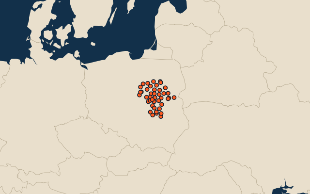
42 counties, each one drawn on a satellite globe. Name it when it lights up, find it when you are given its name, or type every one you can remember in Name all.
Free to play, with no account needed. What you miss comes back for review until it sticks.
The counties
- 1Ostrołęka County2,094 km²
- 2Płock County1,797 km²
- 3Siedlce County1,603 km²
- 4Radom County1,530 km²
- 5Płońsk County1,380 km²
- 6Garwolin County1,285 km²
- 7Grójec County1,268 km²
- 8Węgrów County1,221 km²
- 9Przasnysz County1,219 km²
- 10Ostrów Mazowiecka County1,218 km²
- 11Mława County1,182 km²
- 12Mińsk County1,164 km²
- 13Sokołów County1,131 km²
- 14Maków County1,065 km²
- 15Ciechanów County1,060 km²
- 16Wołomin County954 km²
- 17Kozienice County916 km²
- 18Wyszków County877 km²
- 19Sierpc County852 km²
- 20Pułtusk County827 km²
- 21Żuromin County807 km²
- 22Przysucha County801 km²
- 23Łosice County772 km²
- 24Lipsko County741 km²
- 25Sochaczew County735 km²
- 26Nowy Dwór Mazowiecki County695 km²
- 27Białobrzegi County639 km²
- 28Piaseczno County621 km²
- 29Otwock County616 km²
- 30Gostynin County615 km²
- 31Zwoleń County573 km²
- 32Warsaw West County534 km²
- 33Żyrardów County533 km²
- 34Warsaw517 km²
- 35Szydłowiec County452 km²
- 36Legionowo County391 km²
- 37Grodzisk Mazowiecki County367 km²
- 38Pruszków County246 km²
- 39Radom112 km²
- 40Płock88 km²
- 41Ostrołęka33 km²
- 42Siedlce32 km²
Second-level units: the 380 counties, within the 16 voivodeships (the first level), which the region hint names. Area in km²: the official area where the national statistics office gives one (countries whose divisions changed since Natural Earth). Each item names its source. Sources: OpenStreetMap (ODbL), national statistics offices.
On the map