GeotchaA geography quiz on a real globe
Counties of Pennsylvania
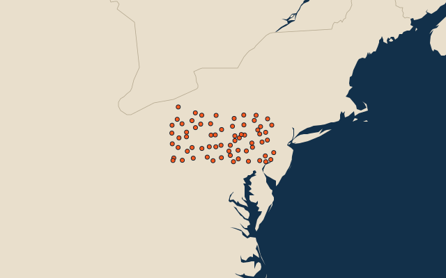
67 counties, each one drawn on a satellite globe. Name it when it lights up, find it when you are given its name, or type every one you can remember in Name all.
Free to play, with no account needed. What you miss comes back for review until it sticks.
The counties
- 1Lycoming County3,183 km²
- 2Bradford County2,972 km²
- 3Clearfield County2,966 km²
- 4Tioga County2,937 km²
- 5Centre County2,872 km²
- 6Potter County2,800 km²
- 7Somerset County2,784 km²
- 8Westmoreland County2,662 km²
- 9Bedford County2,622 km²
- 10Crawford County2,622 km²
- 11McKean County2,537 km²
- 12Lancaster County2,445 km²
- 13York County2,342 km²
- 14Luzerne County2,304 km²
- 15Clinton County2,300 km²
- 16Warren County2,290 km²
- 17Huntingdon County2,265 km²
- 18Washington County2,220 km²
- 19Berks County2,218 km²
- 20Indiana County2,143 km²
- 21Elk County2,142 km²
- 22Susquehanna County2,133 km²
- 23Erie County2,069 km²
- 24Fayette County2,048 km²
- 25Butler County2,045 km²
- 26Schuylkill County2,017 km²
- 27Franklin County2,000 km²
- 28Chester County1,944 km²
- 29Allegheny County1,891 km²
- 30Wayne County1,880 km²
- 31Cambria County1,781 km²
- 32Venango County1,746 km²
- 33Mercer County1,742 km²
- 34Armstrong County1,692 km²
- 35Jefferson County1,690 km²
- 36Monroe County1,576 km²
- 37Bucks County1,565 km²
- 38Clarion County1,556 km²
- 39Greene County1,492 km²
- 40Perry County1,428 km²
- 41Cumberland County1,413 km²
- 42Pike County1,411 km²
- 43Blair County1,360 km²
- 44Dauphin County1,359 km²
- 45Adams County1,343 km²
- 46Columbia County1,252 km²
- 47Montgomery County1,251 km²
- 48Lackawanna County1,189 km²
- 49Northumberland County1,185 km²
- 50Sullivan County1,165 km²
- 51Fulton County1,133 km²
- 52Beaver County1,126 km²
- 53Forest County1,107 km²
- 54Mifflin County1,065 km²
- 55Wyoming County1,029 km²
- 56Cameron County1,026 km²
- 57Juniata County1,014 km²
- 58Carbon County988 km²
- 59Northampton County958 km²
- 60Lebanon County937 km²
and 7 more, all in the quiz.
Second-level units: the 3135 counties, within the 51 states (the first level), which the region hint names. Area in km²: the official area where the national statistics office gives one (countries whose divisions changed since Natural Earth). Each item names its source. Sources: OpenStreetMap (ODbL), national statistics offices.
On the map