GeotchaA geography quiz on a real globe
Counties of Oregon
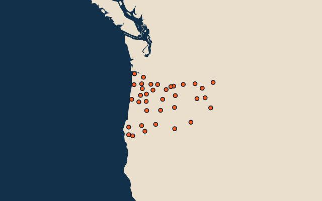
36 counties, each one drawn on a satellite globe. Name it when it lights up, find it when you are given its name, or type every one you can remember in Name all.
Free to play, with no account needed. What you miss comes back for review until it sticks.
The counties
- 1Harney County26,248 km²
- 2Malheur County25,609 km²
- 3Lake County21,079 km²
- 4Klamath County15,410 km²
- 5Douglas County13,042 km²
- 6Lane County11,795 km²
- 7Grant County11,727 km²
- 8Umatilla County8,328 km²
- 9Wallowa County8,148 km²
- 10Baker County7,946 km²
- 11Deschutes County7,816 km²
- 12Crook County7,715 km²
- 13Jackson County7,209 km²
- 14Wasco County6,167 km²
- 15Linn County5,929 km²
- 16Union County5,276 km²
- 17Morrow County5,259 km²
- 18Clackamas County4,845 km²
- 19Jefferson County4,615 km²
- 20Wheeler County4,444 km²
- 21Josephine County4,244 km²
- 22Curry County4,217 km²
- 23Coos County4,134 km²
- 24Gilliam County3,120 km²
- 25Marion County3,059 km²
- 26Tillamook County2,855 km²
- 27Lincoln County2,541 km²
- 28Clatsop County2,145 km²
- 29Sherman County2,133 km²
- 30Polk County1,919 km²
- 31Washington County1,876 km²
- 32Yamhill County1,854 km²
- 33Benton County1,749 km²
- 34Columbia County1,706 km²
- 35Hood River County1,352 km²
- 36Multnomah County1,117 km²
Second-level units: the 3135 counties, within the 51 states (the first level), which the region hint names. Area in km²: the official area where the national statistics office gives one (countries whose divisions changed since Natural Earth). Each item names its source. Sources: OpenStreetMap (ODbL), national statistics offices.
On the map
More in Oregon
- 10 largest cities in Oregon
- 8 largest natural lakes in Oregon
- 13 longest rivers in Oregon
- 25 highest peaks in Oregon
- 12 largest lakes and reservoirs in Oregon