GeotchaA geography quiz on a real globe
Counties of Ohio
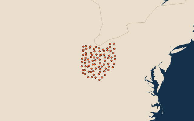
88 counties, each one drawn on a satellite globe. Name it when it lights up, find it when you are given its name, or type every one you can remember in Name all.
Free to play, with no account needed. What you miss comes back for review until it sticks.
The counties
- 1Ashtabula County1,818 km²
- 2Ross County1,785 km²
- 3Licking County1,767 km²
- 4Muskingum County1,721 km²
- 5Washington County1,637 km²
- 6Trumbull County1,601 km²
- 7Wood County1,598 km²
- 8Scioto County1,580 km²
- 9Darke County1,549 km²
- 10Adams County1,512 km²
- 11Stark County1,490 km²
- 12Tuscarawas County1,470 km²
- 13Coshocton County1,461 km²
- 14Wayne County1,437 km²
- 15Highland County1,432 km²
- 16Seneca County1,427 km²
- 17Franklin County1,379 km²
- 18Belmont County1,378 km²
- 19Columbiana County1,378 km²
- 20Hancock County1,376 km²
- 21Knox County1,361 km²
- 22Guernsey County1,353 km²
- 23Fairfield County1,306 km²
- 24Athens County1,304 km²
- 25Pickaway County1,298 km²
- 26Richland County1,283 km²
- 27Huron County1,275 km²
- 28Lorain County1,270 km²
- 29Brown County1,268 km²
- 30Portage County1,262 km²
- 31Putnam County1,250 km²
- 32Hardin County1,218 km²
- 33Butler County1,208 km²
- 34Gallia County1,208 km²
- 35Madison County1,206 km²
- 36Mercer County1,198 km²
- 37Montgomery County1,195 km²
- 38Logan County1,188 km²
- 39Cuyahoga County1,184 km²
- 40Monroe County1,180 km²
- 41Lawrence County1,174 km²
- 42Clermont County1,172 km²
- 43Delaware County1,148 km²
- 44Pike County1,140 km²
- 45Union County1,118 km²
- 46Meigs County1,114 km²
- 47Champaign County1,111 km²
- 48Preble County1,099 km²
- 49Ashland County1,096 km²
- 50Holmes County1,095 km²
- 51Medina County1,092 km²
- 52Hocking County1,091 km²
- 53Williams County1,090 km²
- 54Jackson County1,089 km²
- 55Morgan County1,079 km²
- 56Paulding County1,079 km²
- 57Henry County1,077 km²
- 58Greene County1,071 km²
- 59Summit County1,069 km²
- 60Vinton County1,068 km²
and 28 more, all in the quiz.
Second-level units: the 3135 counties, within the 51 states (the first level), which the region hint names. Area in km²: the official area where the national statistics office gives one (countries whose divisions changed since Natural Earth). Each item names its source. Sources: OpenStreetMap (ODbL), national statistics offices.
On the map