GeotchaA geography quiz on a real globe
Counties of New York
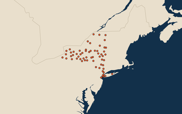
62 counties, each one drawn on a satellite globe. Name it when it lights up, find it when you are given its name, or type every one you can remember in Name all.
Free to play, with no account needed. What you miss comes back for review until it sticks.
The counties
- 1St. Lawrence County6,940 km²
- 2Essex County4,647 km²
- 3Hamilton County4,448 km²
- 4Franklin County4,220 km²
- 5Delaware County3,736 km²
- 6Herkimer County3,656 km²
- 7Steuben County3,601 km²
- 8Cattaraugus County3,388 km²
- 9Lewis County3,301 km²
- 10Jefferson County3,286 km²
- 11Oneida County3,140 km²
- 12Ulster County2,912 km²
- 13Chautauqua County2,746 km²
- 14Erie County2,701 km²
- 15Clinton County2,688 km²
- 16Allegany County2,666 km²
- 17Otsego County2,594 km²
- 18Sullivan County2,507 km²
- 19Oswego County2,465 km²
- 20Suffolk County2,360 km²
- 21Chenango County2,314 km²
- 22Warren County2,246 km²
- 23Washington County2,153 km²
- 24Orange County2,104 km²
- 25Saratoga County2,098 km²
- 26Dutchess County2,061 km²
- 27Onondaga County2,016 km²
- 28Broome County1,828 km²
- 29Cayuga County1,791 km²
- 30Monroe County1,701 km²
- 31Madison County1,696 km²
- 32Rensselaer County1,690 km²
- 33Greene County1,676 km²
- 34Ontario County1,668 km²
- 35Columbia County1,644 km²
- 36Livingston County1,636 km²
- 37Schoharie County1,611 km²
- 38Wayne County1,564 km²
- 39Wyoming County1,535 km²
- 40Albany County1,354 km²
- 41Niagara County1,353 km²
- 42Tioga County1,344 km²
- 43Cortland County1,292 km²
- 44Fulton County1,283 km²
- 45Genesee County1,277 km²
- 46Tompkins County1,229 km²
- 47Westchester County1,116 km²
- 48Chemung County1,055 km²
- 49Montgomery County1,044 km²
- 50Orleans County1,013 km²
- 51Yates County876 km²
- 52Schuyler County850 km²
- 53Seneca County838 km²
- 54Nassau County737 km²
- 55Putnam County596 km²
- 56Schenectady County530 km²
- 57Rockland County449 km²
- 58Queens282 km²
- 59Brooklyn180 km²
- 60Staten Island149 km²
and 2 more, all in the quiz.
Second-level units: the 3135 counties, within the 51 states (the first level), which the region hint names. Area in km²: the official area where the national statistics office gives one (countries whose divisions changed since Natural Earth). Each item names its source. Sources: OpenStreetMap (ODbL), national statistics offices.
On the map
More in New York
- 10 largest cities in New York
- 12 largest natural lakes in New York
- 11 longest rivers in New York
- 17 largest islands in New York
- 14 largest lakes and reservoirs in New York