GeotchaA geography quiz on a real globe
Counties of New Mexico
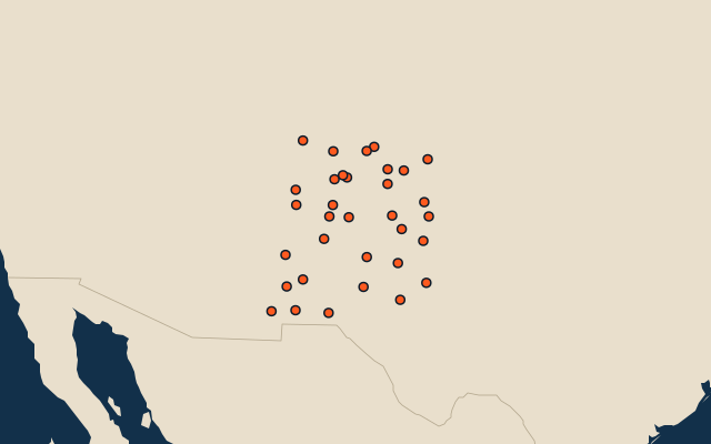
33 counties, each one drawn on a satellite globe. Name it when it lights up, find it when you are given its name, or type every one you can remember in Name all.
Free to play, with no account needed. What you miss comes back for review until it sticks.
The counties
- 1Catron County17,934 km²
- 2Socorro County17,214 km²
- 3Otero County17,126 km²
- 4Chaves County15,714 km²
- 5Rio Arriba County15,180 km²
- 6San Juan County14,290 km²
- 7McKinley County14,118 km²
- 8Lincoln County12,513 km²
- 9San Miguel County12,229 km²
- 10Cibola County11,759 km²
- 11Lea County11,374 km²
- 12Sierra County10,829 km²
- 13Eddy County10,817 km²
- 14Grant County10,259 km²
- 15Union County9,907 km²
- 16Doña Ana County9,863 km²
- 17Colfax County9,733 km²
- 18Sandoval County9,609 km²
- 19Hidalgo County8,906 km²
- 20Torrance County8,664 km²
- 21Guadalupe County7,847 km²
- 22Luna County7,680 km²
- 23Quay County7,444 km²
- 24Roosevelt County6,335 km²
- 25De Baca County6,017 km²
- 26Taos County5,704 km²
- 27Harding County5,505 km²
- 28Mora County4,989 km²
- 29Santa Fe County4,948 km²
- 30Curry County3,640 km²
- 31Bernalillo County3,008 km²
- 32Valencia County2,763 km²
- 33Los Alamos County283 km²
Second-level units: the 3135 counties, within the 51 states (the first level), which the region hint names. Area in km²: the official area where the national statistics office gives one (countries whose divisions changed since Natural Earth). Each item names its source. Sources: OpenStreetMap (ODbL), national statistics offices.
On the map
More in New Mexico
- 10 largest cities in New Mexico
- 7 largest lakes and reservoirs in New Mexico
- 8 longest rivers in New Mexico
- 15 highest peaks in New Mexico